Kothapet, Hyderabad
Map
Facts and practical information
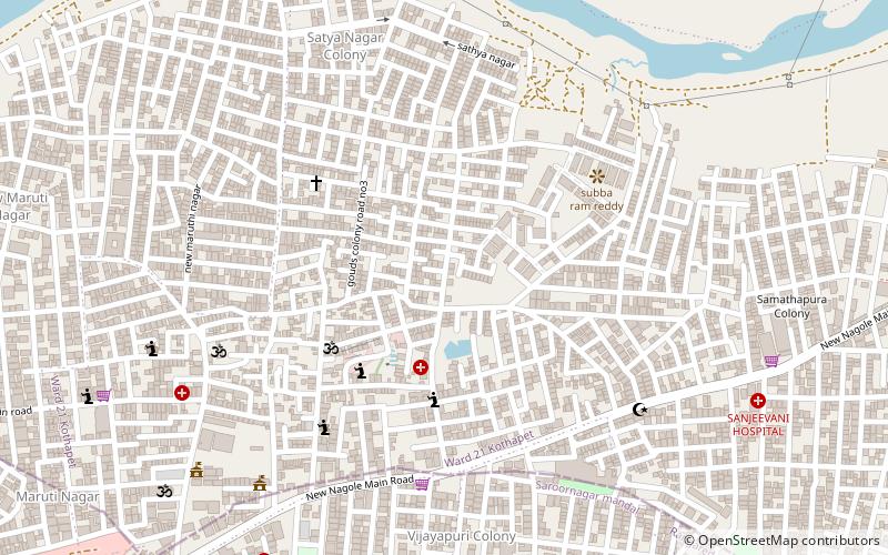
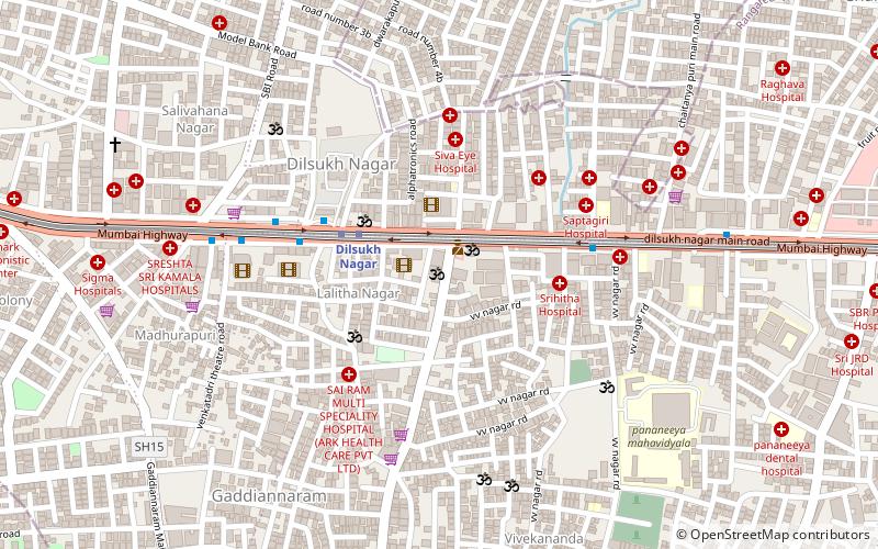
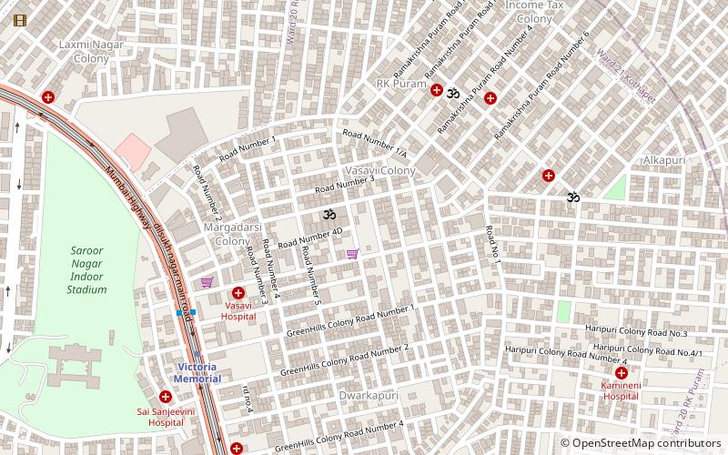
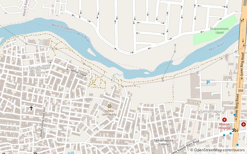
Kothapet is a major commercial and residential suburb in the city of Hyderabad, India located around a strip of NH65. It belongs to Maheshwaram constituency of Ranga Reddy district. ()
Coordinates: 17°22'34"N, 78°32'46"E
Address
L.B. Nagar - Gaddiannaram (Kothapet)Hyderabad
ContactAdd
Social media
Add
Getting there by public transportation
Public transportation stops near this location
- Metro
- Bus
 Metro
Metro
- Calculate routeChaitanyapuri 20 min walk
- Calculate routeVictoria Memorial 26 min walk
- Calculate routeNagole 34 min walk
- Calculate routeDwaraka Nagar 24 min walk
- Calculate routeChaitanyapuri Bus Stop 26 min walk
- Calculate routerajeevgandhi nagar 35 min walk
- Calculate routeRajeevgandhi nagar 36 min walk
Day trips
Kothapet – popular in the area (distance from the attraction)
Nearby attractions include: Sai Baba Temple, Ashtalakshmi Temple, Himayatnagar, Ramanthapur.
Frequently Asked Questions (FAQ)
Which popular attractions are close to Kothapet?
Nearby attractions include Himayatnagar, Hyderabad (1 min walk), Ramanthapur, Hyderabad (10 min walk), Ashtalakshmi Temple, Hyderabad (21 min walk).
How to get to Kothapet by public transport?
The nearest stations to Kothapet:
Metro
Bus
Metro
- Chaitanyapuri • Lines: Red Line (20 min walk)
- Victoria Memorial • Lines: Red Line (26 min walk)
Bus
- Dwaraka Nagar • Lines: 201K (24 min walk)
- Chaitanyapuri Bus Stop • Lines: 201K (26 min walk)