Ashtalakshmi Temple, Hyderabad
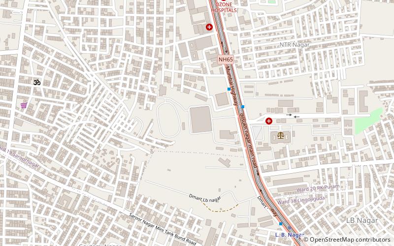
Map
Facts and practical information
Ashtalakshmi Temple is a popular Hindu temple of Goddesses Ashtalakshmi in Hyderabad, India. This magnificent temple dedicated to Goddess Lakshmi stands distinctly on the outskirts of the city. Amidst value the varied Islamic architectural monuments in the area, this temple has a different style — a touch of south Indian architecture. ()
Completed: 1996 (30 years ago)Coordinates: 17°21'53"N, 78°32'52"E
Address
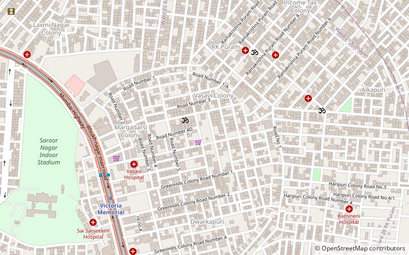
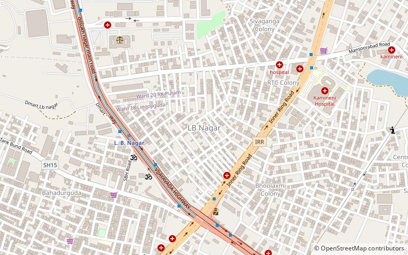
L.B. Nagar - Gaddiannaram (Rama Krishna Puram)Hyderabad
ContactAdd
Social media
Add
Getting there by public transportation
Public transportation stops near this location
- Metro
- Bus
 Metro
Metro
- Calculate routeDwaraka Nagar 8 min walk
- Calculate routerajeevgandhi nagar 19 min walk
- Calculate routeRajeevgandhi nagar 19 min walk
- Calculate routeChaitanyapuri Bus Stop 27 min walk
- Calculate routeVictoria Memorial 9 min walk
- Calculate routeChaitanyapuri 18 min walk
- Calculate routeL. B. Nagar 27 min walk
Day trips

Frequently Asked Questions (FAQ)
Which popular attractions are close to Ashtalakshmi Temple?
Nearby attractions include Himayatnagar, Hyderabad (21 min walk), Kothapet, Hyderabad (21 min walk).
How to get to Ashtalakshmi Temple by public transport?
The nearest stations to Ashtalakshmi Temple:
Bus
Metro
Bus
- Dwaraka Nagar • Lines: 201K (8 min walk)
- rajeevgandhi nagar (19 min walk)
Metro
- Victoria Memorial • Lines: Red Line (9 min walk)
- Chaitanyapuri • Lines: Red Line (18 min walk)