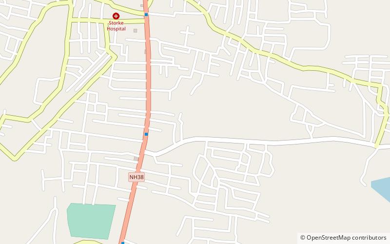
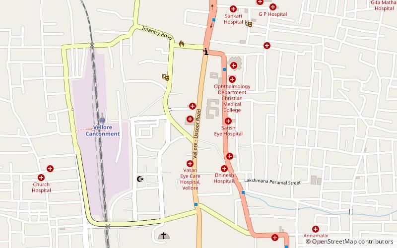
Dharapadavedu, Vellore
Map
Facts and practical information
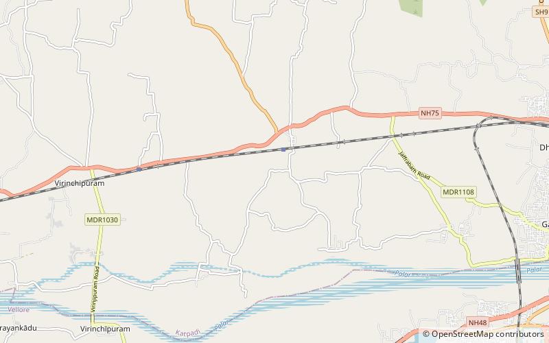
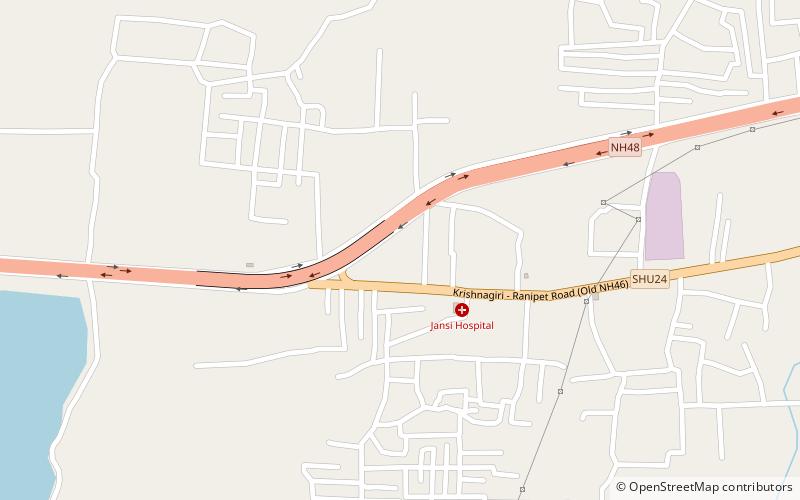
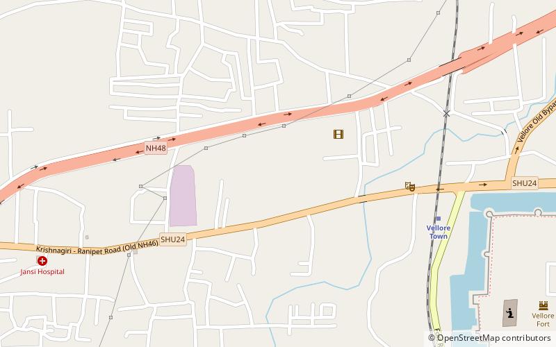
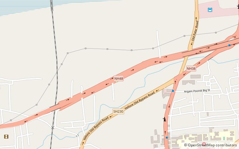
Dharapadavedu is a locality and zone headquarters in Vellore Municipal Corporation in the state of Tamil Nadu, India. Vellore-Katpadi Railway junction is located here. It is also a part of Katpadi locality. But Vellore corporation zonal office is located here. ()
Address
Vellore
ContactAdd
Social media
Add
Getting there by public transportation
Public transportation stops near this location
- Train
 Train
Train
- Calculate routeLatteri 11 min walk
Day trips


Frequently Asked Questions (FAQ)
How to get to Dharapadavedu by public transport?
The nearest stations to Dharapadavedu:
Train
Train
- Latteri (11 min walk)