Poranki, Vijayawada
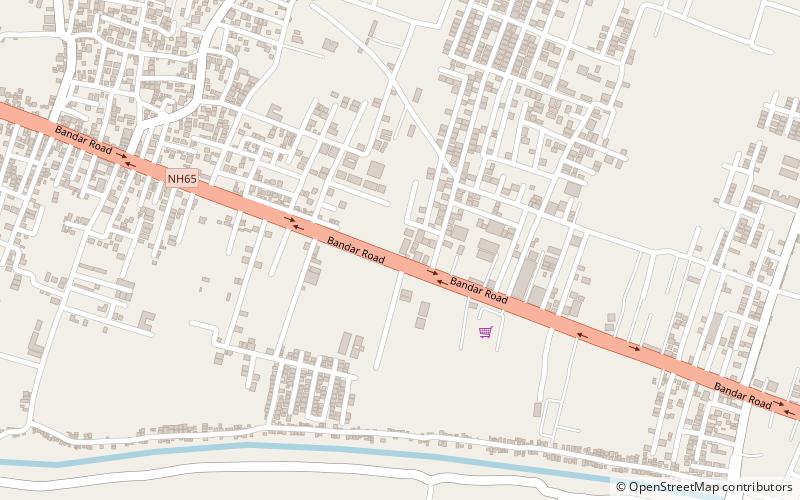
Map
Facts and practical information
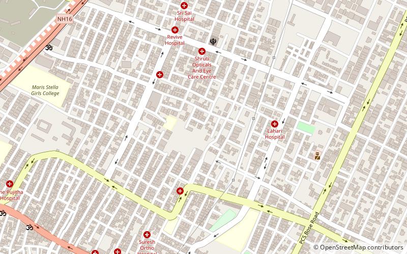
Poranki is a neighbourhood of Vijayawada in Krishna district of the Indian state of Andhra Pradesh. It is located in Penamaluru mandal of Vijayawada revenue division. As per the G.O. No. M.S.104, Municipal Administration and Urban Development Department, it became a part of Vijayawada metropolitan area. It is 2 KM from Penamaluru. ()
Area: 4.55 mi²Coordinates: 16°28'28"N, 80°42'46"E
Address
Vijayawada
ContactAdd
Social media
Add
Day trips
Poranki – popular in the area (distance from the attraction)
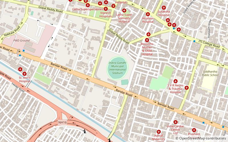
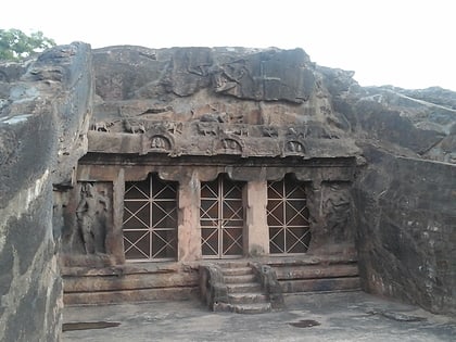
Nearby attractions include: Indira Gandhi Stadium, Jawaharlal Nehru Auto Nagar Industrial Estate, Mogalrajapuram Caves, Kesarapalle.
