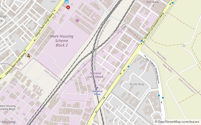
Naraina Vihar, Delhi
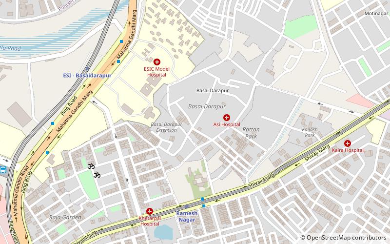
Map
Facts and practical information
Naraina Vihar is a residential locality in South West Delhi. It is composed of flats built by the Delhi Development Authority and privately built houses. The neighborhood is connected with Delhi Metro by Naraina Vihar station. ()
Coordinates: 28°38'23"N, 77°8'29"E
Address
Central Delhi (Rajinder Nagar)Delhi
ContactAdd
Social media
Add
Getting there by public transportation
Public transportation stops near this location
- Metro
- Bus
- Train
 Metro
Metro
- Calculate routeNaraina Vihar 4 min walk
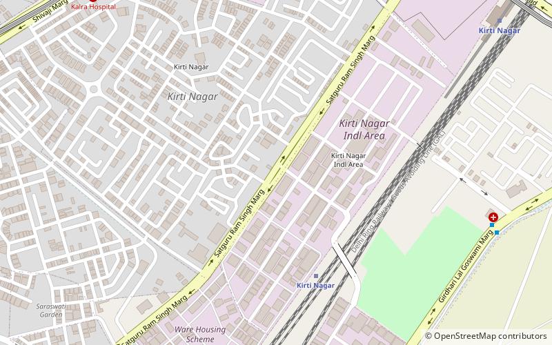
- Calculate routeKirti Nagar 16 min walk
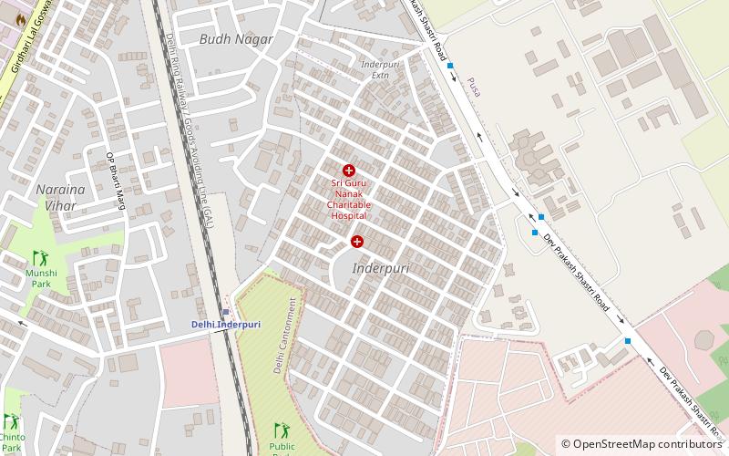
- Calculate routeDelhi Inderpuri 23 min walk
- Calculate routeLoha Mandi 4 min walk
- Calculate routeKrishi Kunj 10 min walk
- Calculate routeBentex 13 min walk
- Calculate routePayal Cinema 17 min walk
- Calculate routeMayapuri 19 min walk
- Calculate routeRamesh Nagar 28 min walk
- Calculate routeNaraina Vihar 29 min walk
- Calculate routeKirti Nagar 31 min walk
Maps Metro
Metro
MetroDay trips
Frequently Asked Questions (FAQ)
Which popular attractions are close to Naraina Vihar?
Nearby attractions include Kirti Nagar, Delhi (20 min walk), Inder Puri, Delhi (22 min walk).
How to get to Naraina Vihar by public transport?
The nearest stations to Naraina Vihar:
Train
Bus
Metro
Train
- Naraina Vihar (4 min walk)
- Kirti Nagar (16 min walk)
Bus
- Loha Mandi • Lines: 73 (4 min walk)
- Krishi Kunj • Lines: 310, 522, 721 (10 min walk)
Metro
- Mayapuri • Lines: Pink Line (19 min walk)
- Ramesh Nagar • Lines: Blue Line (28 min walk)