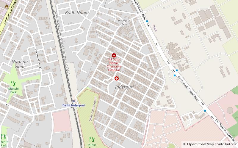
Inder Puri, Delhi
Map
Facts and practical information
Inder Puri is a small upscale residential colony located in the southwest part of New Delhi. It lies between Naraina and New Rajinder Nagar area; it is located next to the renowned Pusa Institute. ()
Coordinates: 28°37'43"N, 77°8'50"E
Address
New Delhi (Naraina)Delhi
ContactAdd
Social media
Add
Getting there by public transportation
Public transportation stops near this location
- Metro
- Bus
- Train
 Metro
Metro
- Calculate routeDelhi Inderpuri 6 min walk
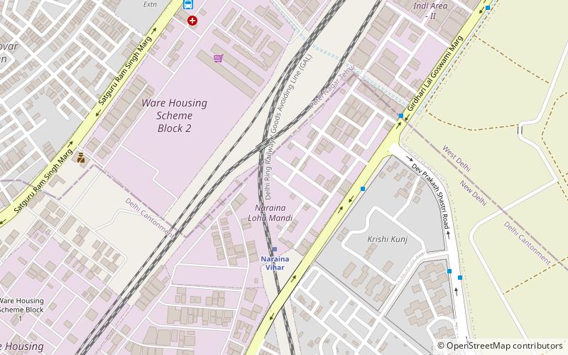
- Calculate routeNaraina Vihar 19 min walk
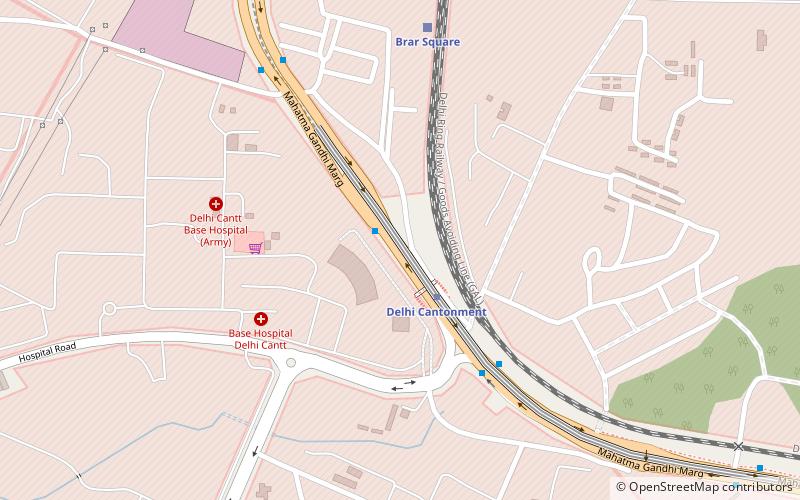
- Calculate routeBrar Square 29 min walk
- Calculate routeIndrapuri, A Block 7 min walk
- Calculate routeInderpuri 8 min walk
- Calculate routeMonitoring and Receiving Station 11 min walk
- Calculate routePayal Cinema 15 min walk
- Calculate routeNaraina Vihar 19 min walk
- Calculate routeMayapuri 31 min walk
Maps Metro
Metro
MetroDay trips


Frequently Asked Questions (FAQ)
Which popular attractions are close to Inder Puri?
Nearby attractions include Naraina Vihar, Delhi (22 min walk), Delhi War Cemetery, Delhi (23 min walk).
How to get to Inder Puri by public transport?
The nearest stations to Inder Puri:
Train
Bus
Metro
Train
- Delhi Inderpuri (6 min walk)
- Naraina Vihar (19 min walk)
Bus
- Indrapuri, A Block • Lines: 721 (7 min walk)
- Inderpuri • Lines: 310, 522, 721 (8 min walk)
Metro
- Naraina Vihar • Lines: Pink Line (19 min walk)
- Mayapuri • Lines: Pink Line (31 min walk)