Karol Bagh, Delhi
Map

Gallery
Facts and practical information
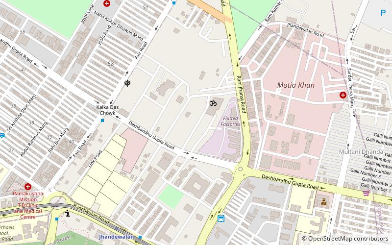
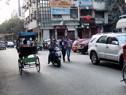
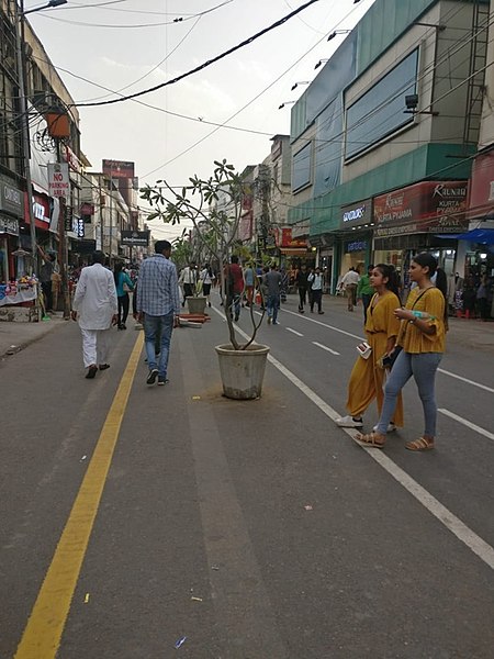
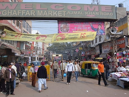
Karol Bagh is a neighbourhood in Central District of Delhi, India. It is a mixed residential-cum-commercial neighborhood known for its shopping streets, like the Ghaffar Market and Ajmal Khan Road. ()
Address
Saraswati Marg, BeadonpuraCentral Delhi (Dev Nagar)Delhi
ContactAdd
Social media
Add
Day trips
Karol Bagh – popular in the area (distance from the attraction)
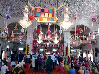
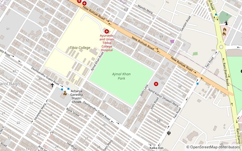
Nearby attractions include: Jhandewalan Temple, Rajendra Nagar, Gurdwara Nank Piao, Ajmal Khan Park.
Frequently Asked Questions (FAQ)
Which popular attractions are close to Karol Bagh?
Nearby attractions include Gurdwara Nank Piao, Delhi (3 min walk), Ajmal Khan Park, Delhi (13 min walk), Jhandewalan Temple, Delhi (24 min walk).
How to get to Karol Bagh by public transport?
The nearest stations to Karol Bagh:
Bus
Metro
Train
Bus
- Khalsa College • Lines: 610 (5 min walk)
- Deshbandhu Gupta Market • Lines: 610 (7 min walk)
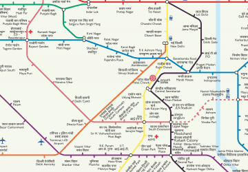
Metro
- Karol Bagh • Lines: Blue Line (16 min walk)
- Jhandewalan • Lines: Blue Line (23 min walk)
Train
- Delhi Sarai Rohilla (19 min walk)
- Vivekanand Puri (22 min walk)
 Metro
Metro