Rayapudi
#2140 among destinations in India
Facts and practical information
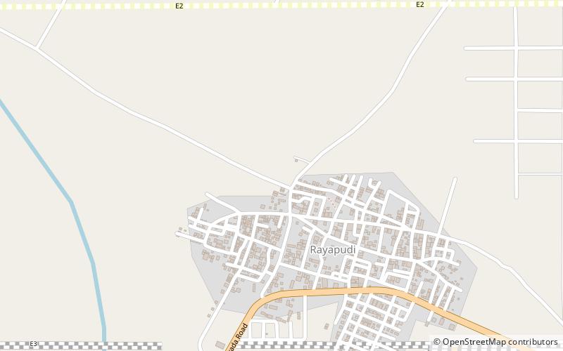
Rayapudi is a neighbourhood and a part of Urban Notified Area of Amaravati, the state capital of the Indian state of Andhra Pradesh. It was a village in Thullur mandal of in Guntur district, prior to its denotification as gram panchayat. ()
Andhra PradeshIndia
Rayapudi – popular in the area (distance from the attraction)
Nearby attractions include: Kondapalli Fort, Thullur, Venkatapalem, Mandadam.
 Forts and castles
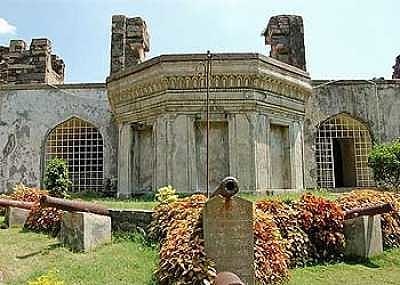
Kondapalli Fort, Vijayawada
159 min walk • Kondapalli Fort, also locally known as Kondapalli Kota, lies to the west of Kondapalli in Vijayawada the second largest city of Andhra Pradesh, India of NTR district.
 Neighbourhood
Thullur
44 min walk • Thulluru is a neighbourhood and a part of Urban Notified Area of Amaravati, the state capital of the Indian state of Andhra Pradesh.
 Neighbourhood
Venkatapalem, Vijayawada
138 min walk • Venkatapalem is a neighbourhood and a part of Urban Notified Area of Amaravati, the state capital of the Indian state of Andhra Pradesh. It was a village in Thullur mandal of Guntur district, prior to its denotification as gram panchayat.
 Neighbourhood
Mandadam
80 min walk • Mandadam is a neighbourhood and a part of Urban Notified Area of Amaravati, the state capital of the Indian state of Andhra Pradesh. It was a village in Thullur mandal of Guntur district, prior to its denotification as gram panchayat.
 Neighbourhood
Borupalem
43 min walk • Borupalem is a neighbourhood and a part of Urban Notified Area of Amaravati, the state capital of the Indian state of Andhra Pradesh. It was a village in Thullur mandal of in Guntur district, prior to its denotification as gram panchayat.
 Neighbourhood
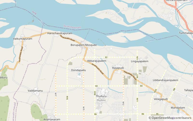
Abbarajupalem
24 min walk • Abbarajupalem is a neighbourhood and a part of Urban Notified Area of Amaravati, the state capital of the Indian state of Andhra Pradesh. It was a village in Thullur mandal of in Guntur district, prior to its denotification as gram panchayat.
 Neighbourhood
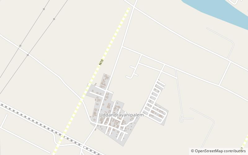
Uddandarayunipalem
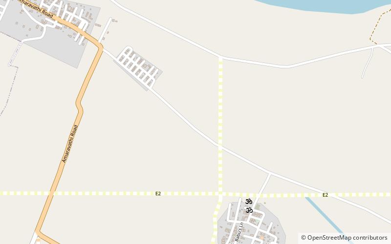
62 min walk • Uddandarayunipalem is a neighbourhood and a part of Urban Notified Area of Amaravati, the state capital of the Indian state of Andhra Pradesh. It was a village in Thullur mandal of Guntur district, prior to its denotification as gram panchayat.
 Neighbourhood
Ananthavaram
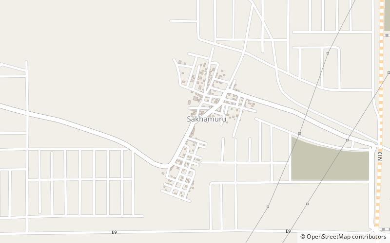
31 min walk • Anantavaram is a neighbourhood and a part of Urban Notified Area of Amaravati, the state capital of the Indian state of Andhra Pradesh. It was a village in Thullur mandal of Guntur district, prior to its denotification as gram panchayat.
 Neighbourhood
Sakhamuru
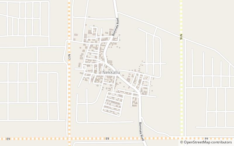
105 min walk • Sakhamuru is a neighbourhood and a part of Urban Notified Area of Amaravati, the state capital of the Indian state of Andhra Pradesh. It was a village in Thullur mandal of in Guntur district, prior to its denotification as gram panchayat.
 Neighbourhood
Nekkallu
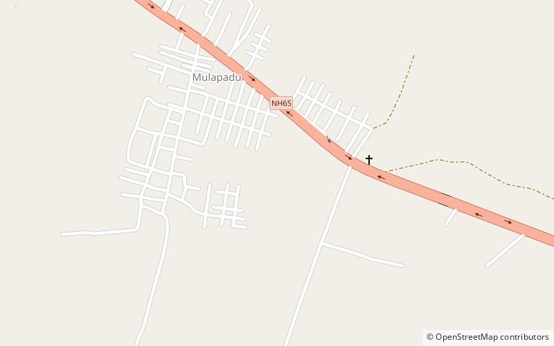
124 min walk • Nekkallu is a neighbourhood and a part of Urban Notified Area of Amaravati, the state capital of the Indian state of Andhra Pradesh. It was a village in Thullur mandal of in Guntur district, prior to its denotification as gram panchayat.
 Sport venue, Sport
ACA–KDCA Cricket Ground
105 min walk • ACA–KDCA Cricket Ground is the common name for series of two cricket grounds located in the Indian state of Andhra Pradesh. It is located in the village of Mulapadu of Krishna district, near Vijayawada. It is under the jurisdiction of Andhra Cricket Association and owned by Krishna District Cricket Association.