Borupalem

Gallery (1)
Map
Map
Facts and practical information
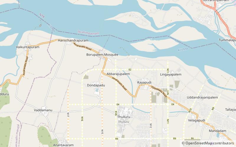
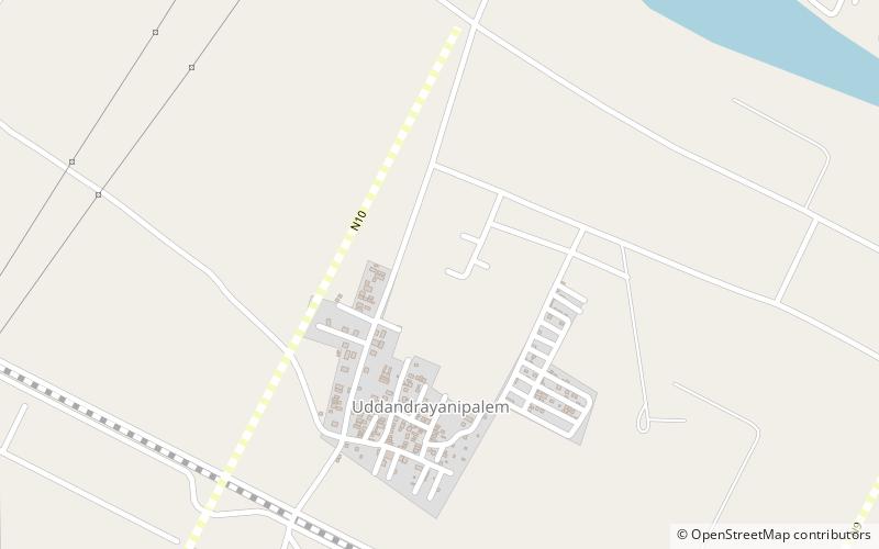
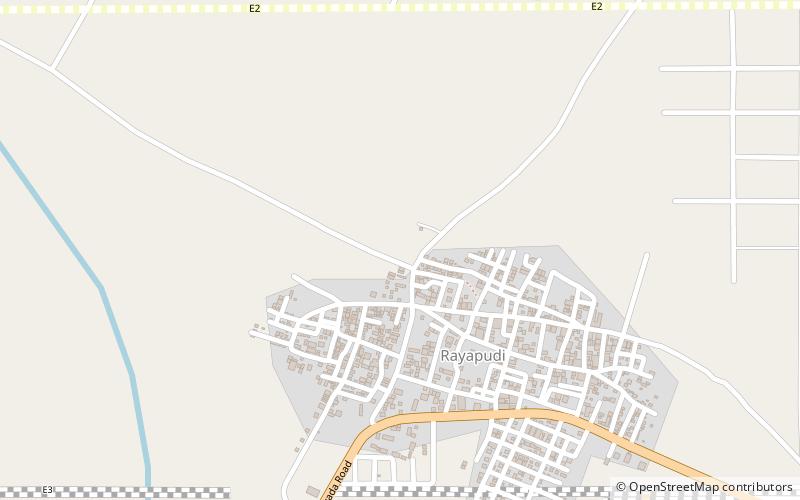
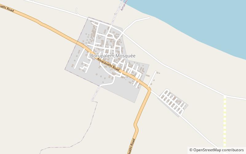
Borupalem is a neighbourhood and a part of Urban Notified Area of Amaravati, the state capital of the Indian state of Andhra Pradesh. It was a village in Thullur mandal of in Guntur district, prior to its denotification as gram panchayat. ()
Area: 1.04 mi²Coordinates: 16°33'43"N, 80°27'25"E
Location
Andhra Pradesh
ContactAdd
Social media
Add
Day trips