Mandadam
#2015 among destinations in India

Facts and practical information
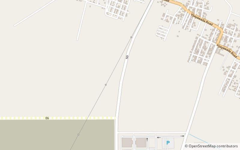
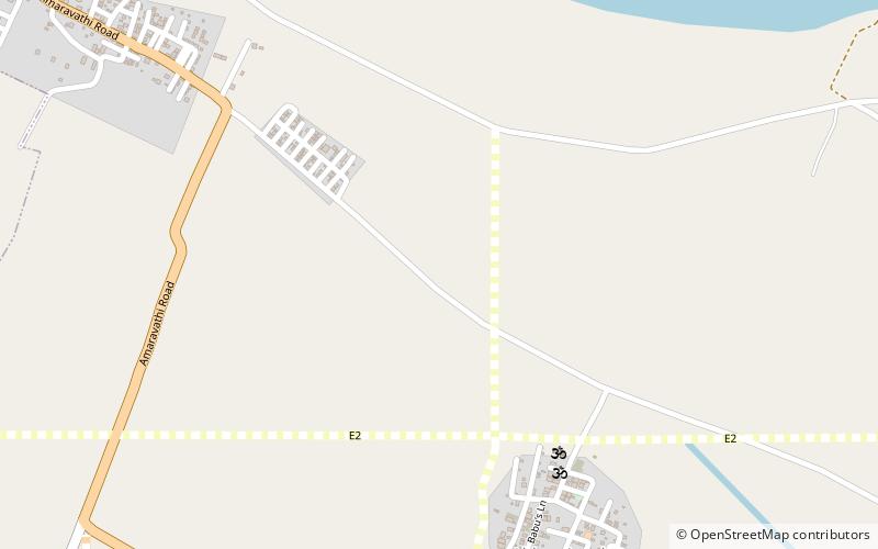
Mandadam is a neighbourhood and a part of Urban Notified Area of Amaravati, the state capital of the Indian state of Andhra Pradesh. It was a village in Thullur mandal of Guntur district, prior to its denotification as gram panchayat. ()
Andhra PradeshIndia
Mandadam – popular in the area (distance from the attraction)
Nearby attractions include: Undavalli Caves, Thullur, Gollapudi, Undavalli.
 Natural attraction, Sacred and religious sites, Park
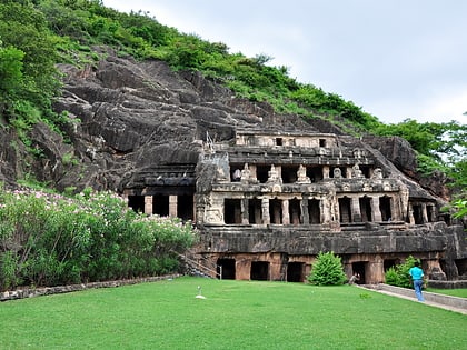
Undavalli Caves, Vijayawada
122 min walk • The Undavalli Caves, a monolithic example of Indian rock-cut architecture and one of the finest testimonials to ancient viswakarma sthapathis, are located in Mangalagiri Tadepalle Municipal Corporation of Guntur district in the Indian state of Andhra Pradesh.
 Neighbourhood
Thullur
79 min walk • Thulluru is a neighbourhood and a part of Urban Notified Area of Amaravati, the state capital of the Indian state of Andhra Pradesh.
 Neighbourhood
Gollapudi, Vijayawada
120 min walk • Gollapudi is a neighbourhood of Vijayawada in Krishna district of the Indian state of Andhra Pradesh. It is located in Vijayawada mandal of Vijayawada revenue division. As per the G.O. No.
 Neighbourhood
Undavalli, Vijayawada
122 min walk • Undavalli is a neighbourhood situated between the state capital Amaravati and Vijayawada city of the Indian state of Andhra Pradesh. It was a village in Tadepalle mandal of Guntur district, prior to its de-notification as gram panchayat. 5th century Buddhist and Hindu Undavalli...
 Neighbourhood
Venkatapalem, Vijayawada
65 min walk • Venkatapalem is a neighbourhood and a part of Urban Notified Area of Amaravati, the state capital of the Indian state of Andhra Pradesh. It was a village in Thullur mandal of Guntur district, prior to its denotification as gram panchayat.
 Neighbourhood
Penumaka, Vijayawada
122 min walk • Penumaka is a part of Mangalagiri Tadepalle Municipal Corporation part of Guntur district which is part of Andhra Pradesh. It was a village in Tadepalle mandal of Guntur district, prior to its de–notification as gram panchayat.
 Neighbourhood
Navuluru
139 min walk • Nowlur is a neighbourhood and a part of Urban Notified Area of Amaravati, the state capital of the Indian state of Andhra Pradesh.
 Neighbourhood
Borupalem
122 min walk • Borupalem is a neighbourhood and a part of Urban Notified Area of Amaravati, the state capital of the Indian state of Andhra Pradesh. It was a village in Thullur mandal of in Guntur district, prior to its denotification as gram panchayat.
 Neighbourhood
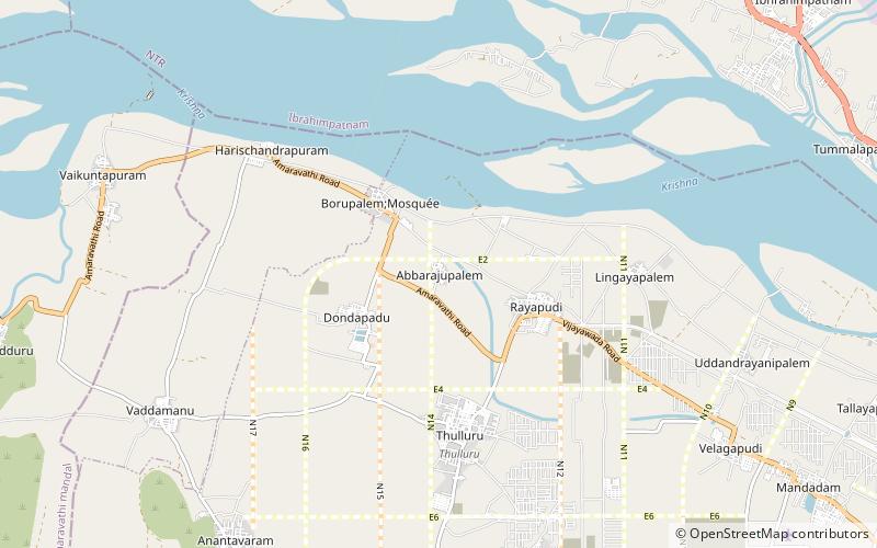
Abbarajupalem
101 min walk • Abbarajupalem is a neighbourhood and a part of Urban Notified Area of Amaravati, the state capital of the Indian state of Andhra Pradesh. It was a village in Thullur mandal of in Guntur district, prior to its denotification as gram panchayat.
 Neighbourhood
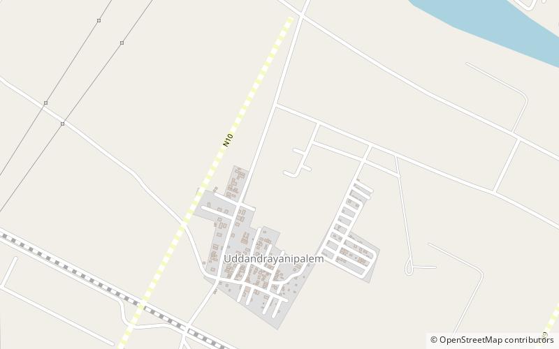
Uddandarayunipalem
40 min walk • Uddandarayunipalem is a neighbourhood and a part of Urban Notified Area of Amaravati, the state capital of the Indian state of Andhra Pradesh. It was a village in Thullur mandal of Guntur district, prior to its denotification as gram panchayat.
 Neighbourhood
Ananthavaram
110 min walk • Anantavaram is a neighbourhood and a part of Urban Notified Area of Amaravati, the state capital of the Indian state of Andhra Pradesh. It was a village in Thullur mandal of Guntur district, prior to its denotification as gram panchayat.
