Kailash Colony, Delhi
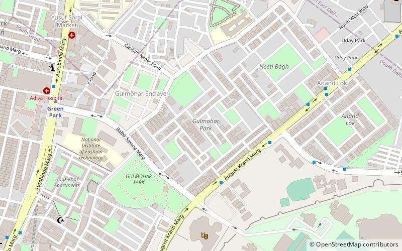
Map
Facts and practical information
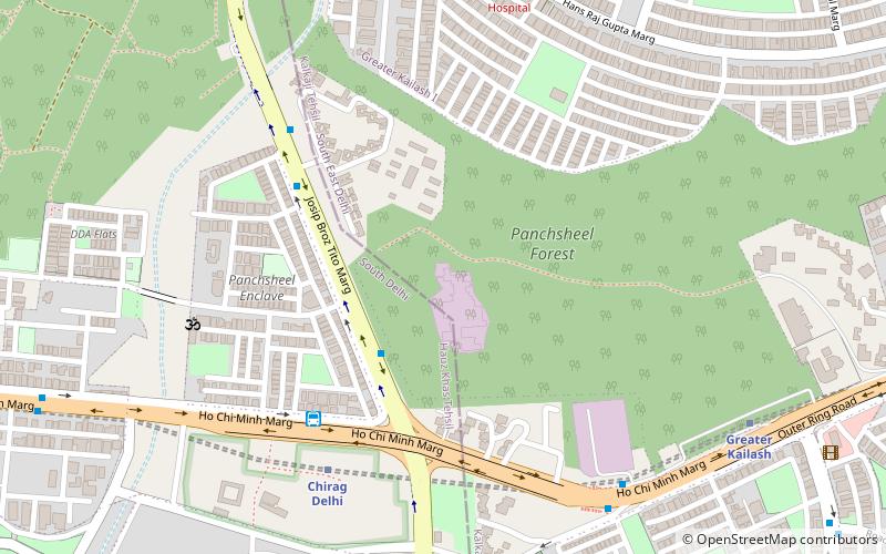
Kailash Colony is a residential neighborhood in South Delhi, India. Greater Kailash is extension of this place. ()
Coordinates: 28°32'40"N, 77°13'57"E
Address
South Delhi (Greater Kailash I)Delhi
ContactAdd
Social media
Add
Getting there by public transportation
Public transportation stops near this location
- Metro
- Bus
 Metro
Metro
- Calculate routePanchsheel Enclave 3 min walk
- Calculate routeChirag Dilli Metro Station Gate no.2 6 min walk
- Calculate routeKrishi Vihar 7 min walk
- Calculate routeMasjid Moth 9 min walk
- Calculate routeChirag Delhi 7 min walk
- Calculate routeGreater Kailash 11 min walk
- Calculate routePanchsheel Park 19 min walk
- Calculate routeKailash Colony 25 min walk
Maps Metro
Metro
MetroDay trips


Frequently Asked Questions (FAQ)
Which popular attractions are close to Kailash Colony?
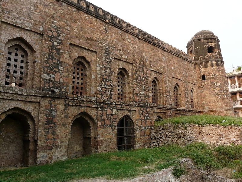
Nearby attractions include Greater Kailash, Delhi (12 min walk), Tomb of Bahlul Lodi, Delhi (20 min walk), Siri Fort, Delhi (20 min walk).
How to get to Kailash Colony by public transport?
The nearest stations to Kailash Colony:
Bus
Metro
Bus
- Panchsheel Enclave • Lines: 419, 423, 521, 522, 522Spl, 544 (3 min walk)
- Chirag Dilli Metro Station Gate no.2 (6 min walk)
Metro
- Chirag Delhi • Lines: Magenta Line (7 min walk)
- Greater Kailash • Lines: Magenta Line (11 min walk)