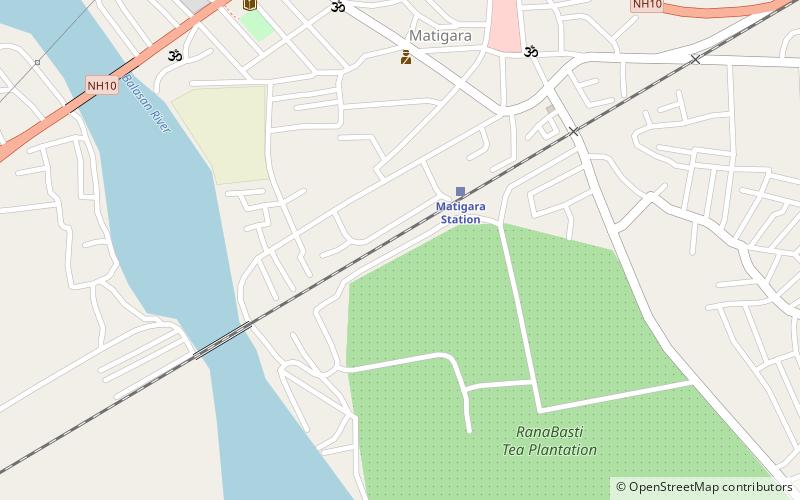
Matigara, Siliguri
Map
Facts and practical information
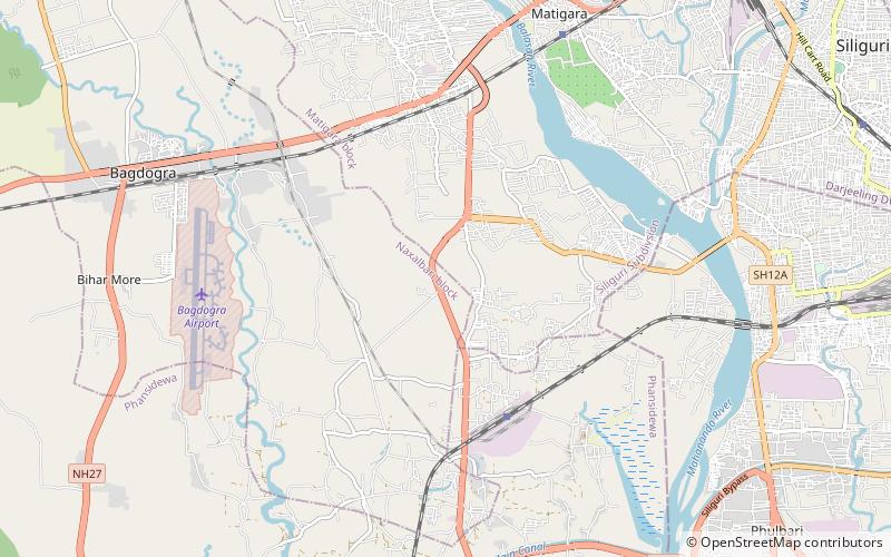
Matigara is a community development block that forms an administrative division in the Siliguri subdivision of the Darjeeling district in the Indian state of West Bengal. ()
Coordinates: 26°43'0"N, 88°22'60"E
Getting there by public transportation
Public transportation stops near this location
- Bus
- Train
 Bus
Bus
- Calculate routeMatigara Station 3 min walk
- Calculate routeParking / Paribahan Nagar Bus Terminal 18 min walk
Day trips


Frequently Asked Questions (FAQ)
How to get to Matigara by public transport?
The nearest stations to Matigara:
Train
Bus
Train
- Matigara Station (3 min walk)
Bus
- Parking / Paribahan Nagar Bus Terminal (18 min walk)