Antop Hill, Mumbai
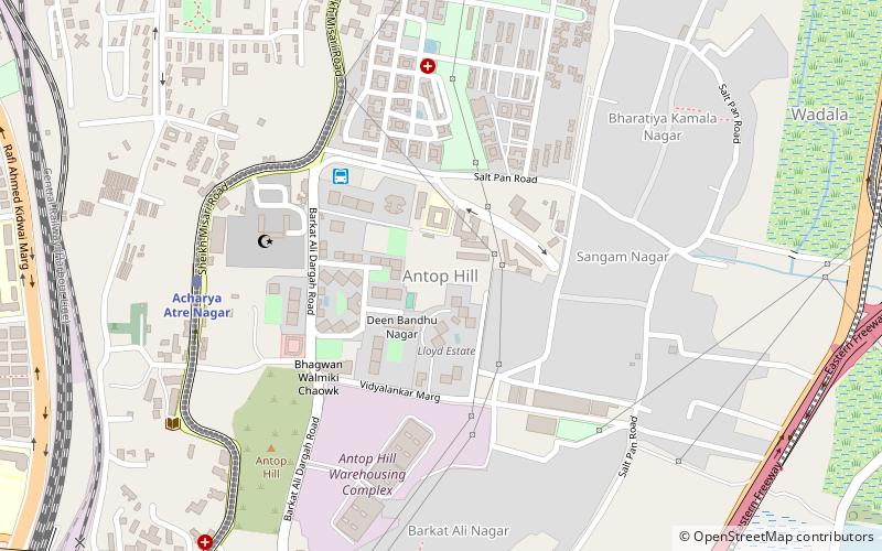
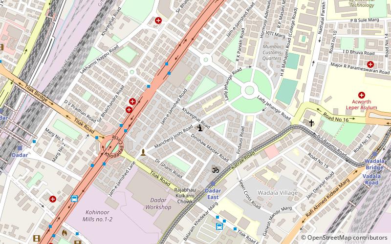
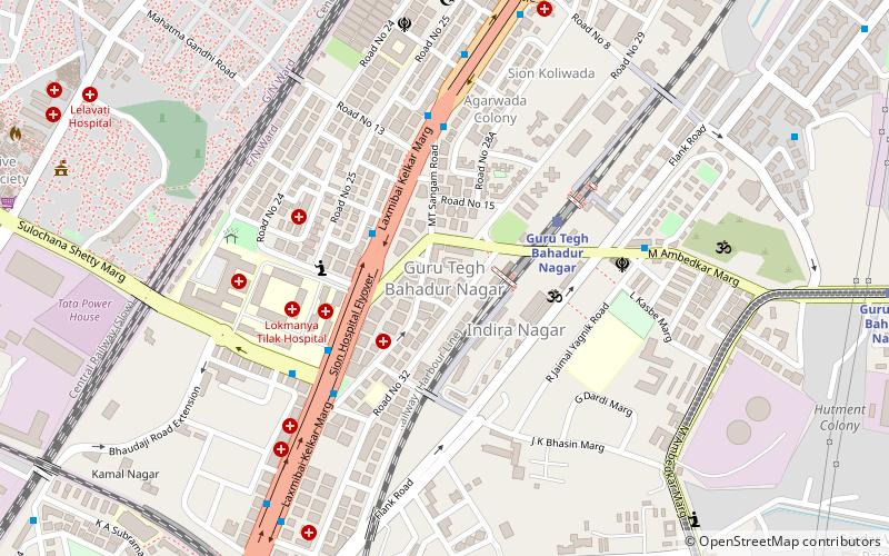
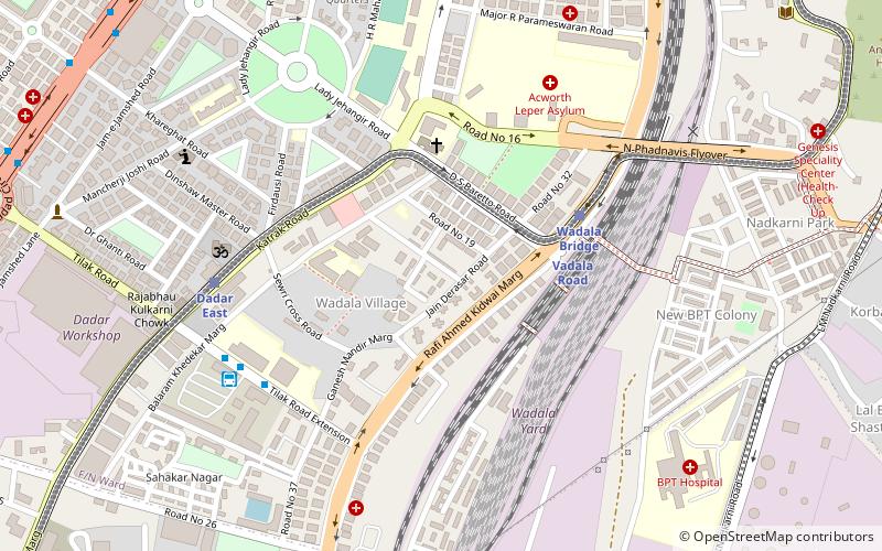
Map
Facts and practical information
Antop Hill is a neighbourhood in Mumbai to the east of the Harbour railway line. It derives its name from a local Marathi owner called Antoba. In course of time the name was anglicised to "Antop". It is also famous for rapper Emiway Bantai.To the south is MBPT and to the north is the C.G.S. colony. To the east at a distance lies the Trombay Hill and the RCF Factory. ()
Coordinates: 19°1'26"N, 72°52'7"E
Address
MatungaMumbai
ContactAdd
Social media
Add
Day trips
Antop Hill – popular in the area (distance from the attraction)
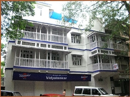
Nearby attractions include: Vidyalankar Institute of Technology, Institute of Chemical Technology, Shree Marubai Gavdevi Mandir, Wadala Market.
Frequently Asked Questions (FAQ)
Which popular attractions are close to Antop Hill?
Nearby attractions include Vidyalankar Institute of Technology, Mumbai (6 min walk), Wadala, Mumbai (8 min walk), Institute of Chemical Technology, Mumbai (18 min walk), Shree Marubai Gavdevi Mandir, Mumbai (21 min walk).
How to get to Antop Hill by public transport?
The nearest stations to Antop Hill:
Bus
Train
Bus
- Antop Hill Depot (5 min walk)
- Wadala Depot (32 min walk)
Train
- Acharya Atre Nagar (8 min walk)
- Antop Hill (12 min walk)
