Paharganj, Delhi
Map
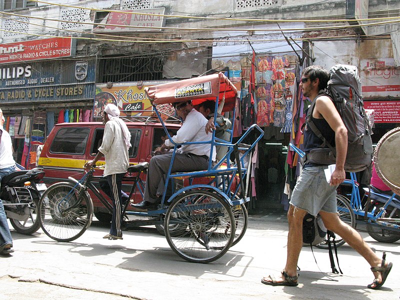
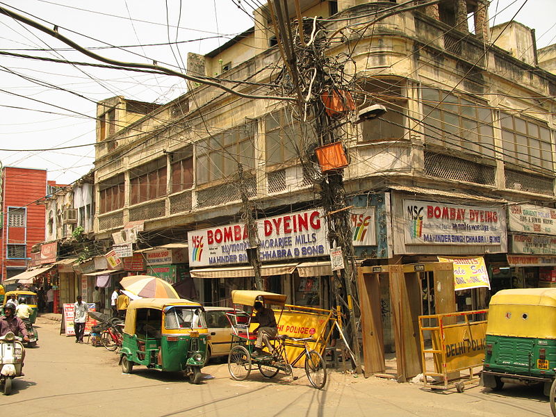
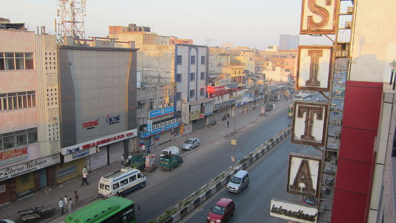
Gallery
Facts and practical information
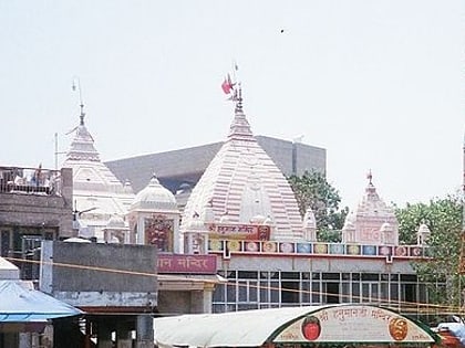
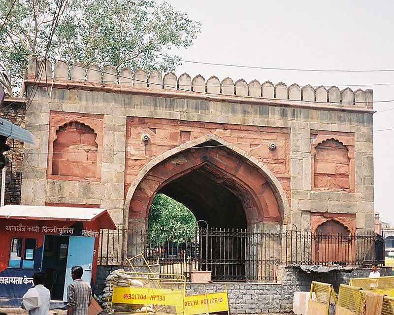
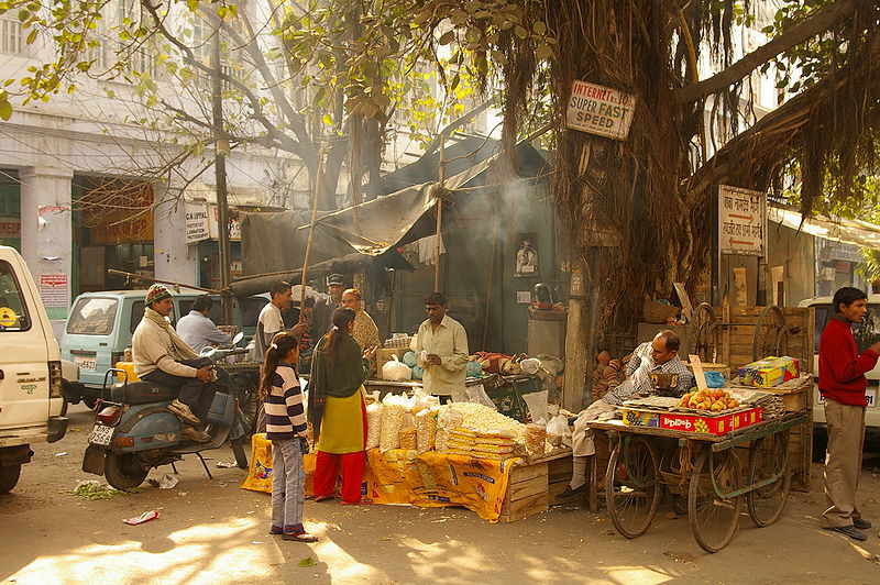
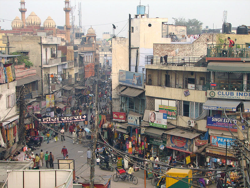
Paharganj is a neighbourhood of Central Delhi, located just west of the New Delhi Railway Station. Known as Shahganj or King's ganj or market place during Mughal era, it is one of the three administrative subdivisions, of the Central Delhi district, of the National Capital Territory of Delhi, with the other two being, Darya Ganj and Karol Bagh. ()
Address
Arya NagarCentral Delhi (Pahar Ganj)Delhi
ContactAdd
Social media
Add
Day trips
Paharganj – popular in the area (distance from the attraction)
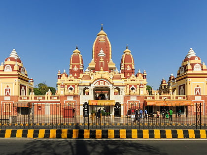
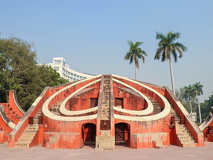
Nearby attractions include: Chandni Chowk, Laxminarayan Temple, Jantar Mantar, Fatehpuri Mosque.
Frequently Asked Questions (FAQ)
Which popular attractions are close to Paharganj?
Nearby attractions include Ramakrishna Mission New Delhi, Delhi (8 min walk), Qadam Sharif, Delhi (15 min walk), Shivaji Stadium, Delhi (16 min walk), Garstin Bastion Road, Delhi (18 min walk).
How to get to Paharganj by public transport?
The nearest stations to Paharganj:
Bus
Metro
Train
Bus
- New Delhi Railway Station • Lines: 166, 181A, 894 (8 min walk)
- Sucheta Kriplani Hospital • Lines: 85, 85Ext (10 min walk)
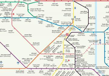
Metro
- Ramakrishna Ashram Marg • Lines: Blue Line (10 min walk)
- New Delhi • Lines: Yellow Line (14 min walk)
Train
- New Delhi (12 min walk)
- Shivaji Bridge (25 min walk)


 Metro
Metro
