Gulabi Bagh, Delhi
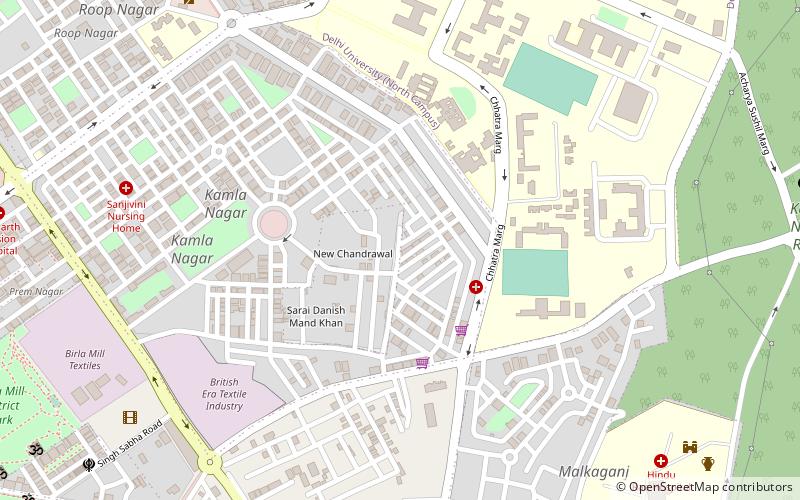
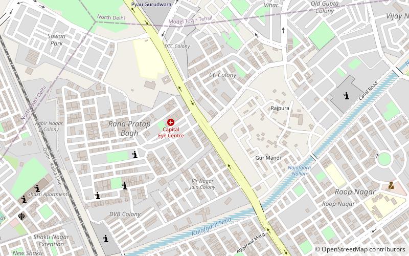
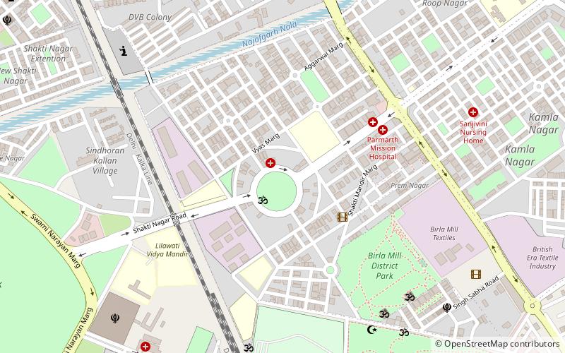
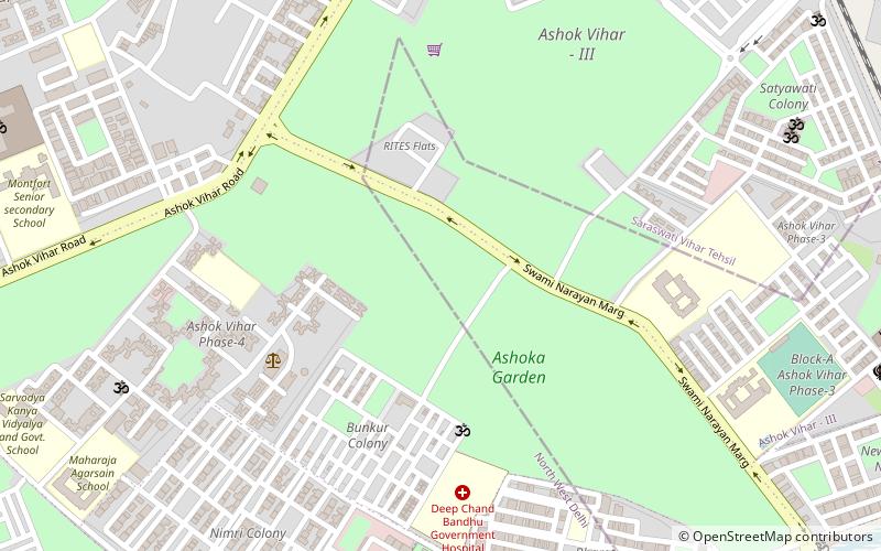
Map
Facts and practical information
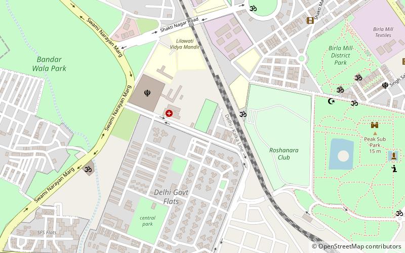
Gulabi Bagh is one of the oldest and planned residential areas that lies north of central Delhi, India, adjacent to Ashok Vihar, Shakti Nagar, Kamla Nagar, Karol Bagh. Famous for its greenery and fresh air, it is often characterized by its famous park that is adjacent to it. ()
Coordinates: 28°40'29"N, 77°11'32"E
Address
Central Delhi (Kishan Ganj)Delhi
ContactAdd
Social media
Add
Day trips
Gulabi Bagh – popular in the area (distance from the attraction)
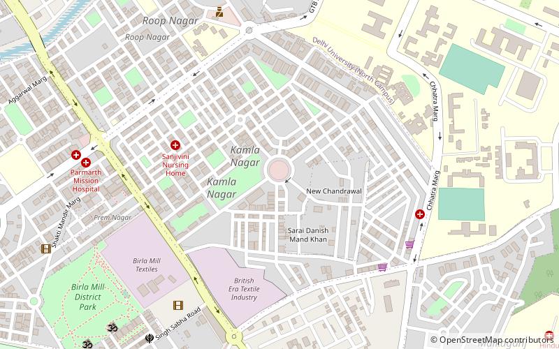
Nearby attractions include: Patel Chest, Kamla Nagar, Mutiny Memorial, Roshanara Bagh.
Frequently Asked Questions (FAQ)
Which popular attractions are close to Gulabi Bagh?
Nearby attractions include Shakti Nagar, Delhi (10 min walk), Roshanara Bagh, Delhi (12 min walk), Kamla Nagar, Delhi (21 min walk), Tripolia Gates, Delhi (23 min walk).
How to get to Gulabi Bagh by public transport?
The nearest stations to Gulabi Bagh:
Train
Metro
Bus
Train
- Subzimandi (17 min walk)
- Vivekanand Puri (23 min walk)
Metro
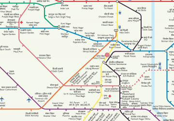
- Pratap Nagar • Lines: Red Line (18 min walk)
- Shastri Nagar • Lines: Red Line (18 min walk)
Bus
- Shastri Nagar Metro Station • Lines: 610 (20 min walk)
 Metro
Metro