Adyar Creek, Chennai

Map
Facts and practical information
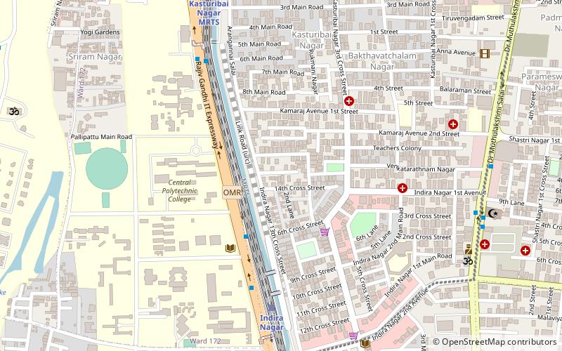
Adyar Creek is a backwater estuary located in Adyar, Chennai at the mouth of the Adyar river along the Coromandel Coast of the Bay of Bengal. The creek begins near the Chetinnad Palace, extending northward into the mainland and taking a complete U-turn near the Foreshore Estate before ending near Mandavelipakkam. The creek surrounds the Quibble Island. ()
Coordinates: 13°0'0"N, 80°15'0"E
Address
Adyar (Adyar West)Chennai
ContactAdd
Social media
Add
Day trips
Adyar Creek – popular in the area (distance from the attraction)
Nearby attractions include: Birla Planetarium, Gandhi Mandapam, Marundeeswarar Temple, TIDEL Park.
Frequently Asked Questions (FAQ)
Which popular attractions are close to Adyar Creek?
Nearby attractions include Tholkappia Poonga, Chennai (1 min walk), Roja Muthiah Research Library, Chennai (5 min walk), Urban Palette, Chennai (10 min walk), Madhya Kailash, Chennai (13 min walk).
How to get to Adyar Creek by public transport?
The nearest stations to Adyar Creek:
Bus
Light rail
Bus
- Women's polytechnic • Lines: 19B, 5C (5 min walk)
- VHS hospital • Lines: 5C (8 min walk)
Light rail
- Indira Nagar • Lines: 1 (7 min walk)
- Kasturiba Nagar • Lines: 1 (10 min walk)


