Azampura, Hyderabad
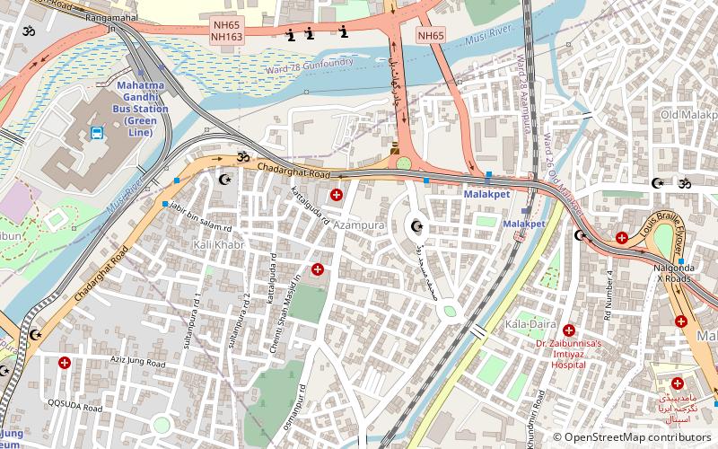
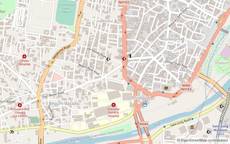
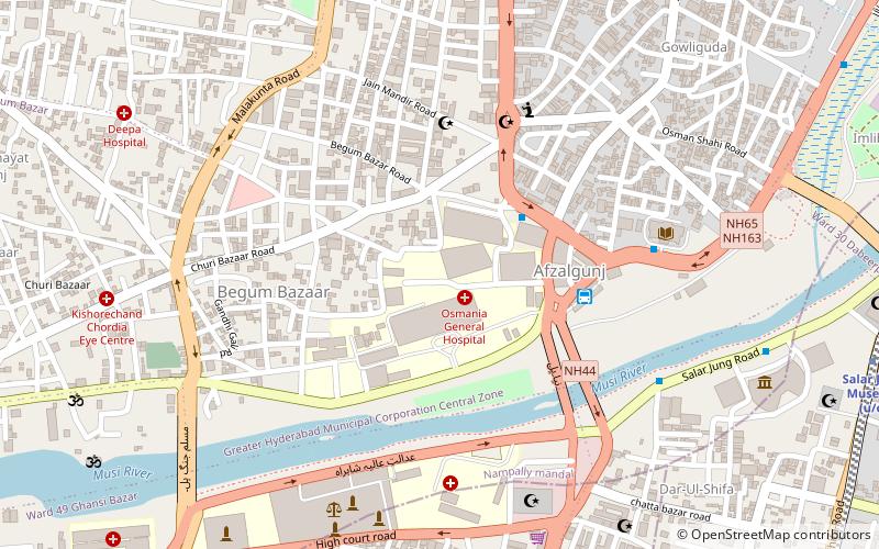
Map
Facts and practical information
Azampura, on banks of River Moosi, is one of the old suburbs in Hyderabad, India and is close to Dabirpura. Other nearby areas include Saidabad, Chaderghat, Malakpet and Chanchalguda. There were 27,500 residents in Azampura as of 2003. Like many other Old City suburbs it has a majority Muslim population. Also the area is home to the deputy Chief Minister of Telangana, Mohammed Mehmood Ali. ()
Coordinates: 17°22'34"N, 78°29'27"E
Address
Erstwhile Circle-I (Azampura)Hyderabad
ContactAdd
Social media
Add
Day trips
Azampura – popular in the area (distance from the attraction)
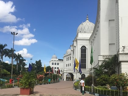
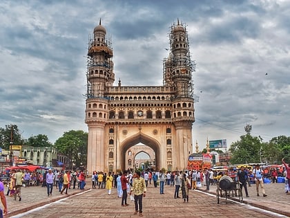
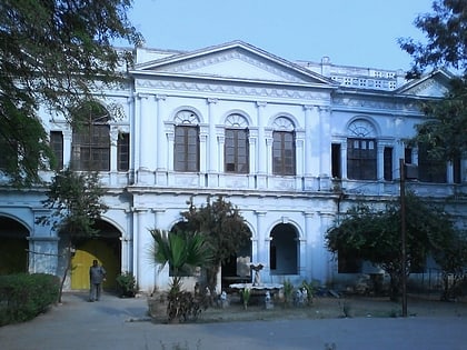
Nearby attractions include: Salar Jung Museum, Charminar, Purani Haveli, Nayapul.
Frequently Asked Questions (FAQ)
Which popular attractions are close to Azampura?
Nearby attractions include Telangana State Archaeology Museum, Hyderabad (18 min walk), Sanjeevaiah Park, Hyderabad (18 min walk), Sreenidhi Institute of Science and Technology, Hyderabad (18 min walk), Putlibowli, Hyderabad (18 min walk).
How to get to Azampura by public transport?
The nearest stations to Azampura:
Bus
Metro
Train
Bus
- Chaderghat • Lines: 201K (5 min walk)
- Mahatma Gandhi Bus Station (12 min walk)
Metro
- Malakpet • Lines: Red Line (6 min walk)
- Mahatma Gandhi Bus Station • Lines: 2, Red Line (11 min walk)
Train
- Malakpet (7 min walk)
- Dabirpura (18 min walk)
