Gaighat, Patna
Map
Facts and practical information
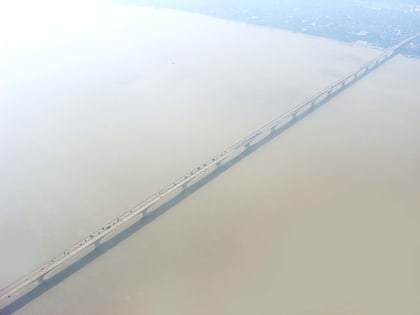
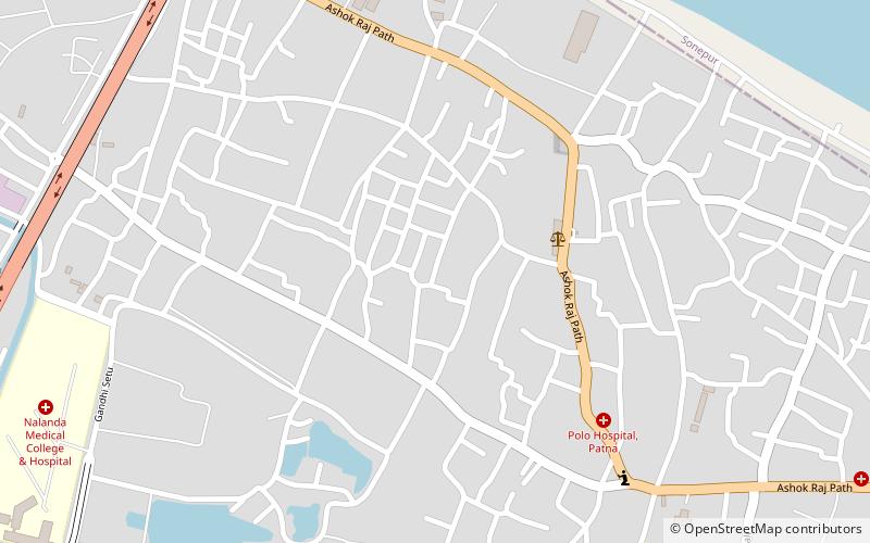
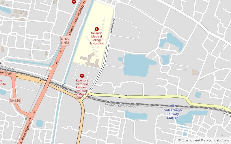
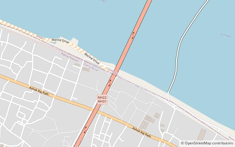
Gaighat is a neighbourhood of Patna in the eastern state of Bihar in India. It is located on the southern bank of river Ganges in Patna. The southern flank of Mahatma Gandhi Setu bridge connecting Patna and Hajipur rises from Gaighat in Patna. One end of Pontoon Bridge connecting Patna and Hajipur over the river Ganges is also located in the area. Gaighat is part of the wider Alamganj area in Patna. ()
Coordinates: 25°36'49"N, 85°12'11"E
Address
Patna
ContactAdd
Social media
Add
Day trips
Gaighat – popular in the area (distance from the attraction)
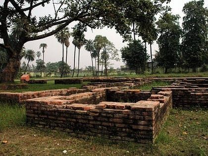
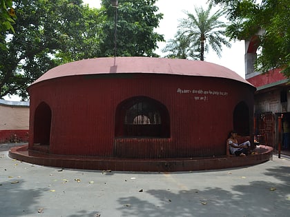
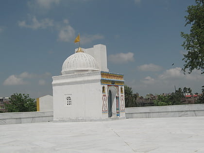
Nearby attractions include: Kumhrar, Mahatma Gandhi Setu, Agam Kuan, Kamaldah Jain temple.
Frequently Asked Questions (FAQ)
Which popular attractions are close to Gaighat?
Nearby attractions include Aami Mandir, Patna (16 min walk), Patan Devi, Patna (16 min walk), Mahatma Gandhi Setu, Patna (16 min walk).
How to get to Gaighat by public transport?
The nearest stations to Gaighat:
Train
Train
- Gulzarbagh Railway Station (29 min walk)
