Trek Zone

Kangeyanallur, Vellore

#13 among attractions in Vellore

Neighbourhood
Kangeyanallur location map
Map

Facts and practical information
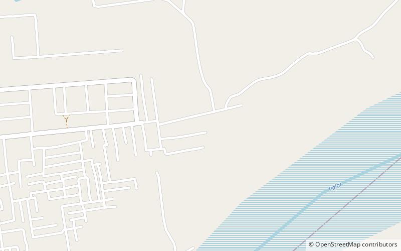
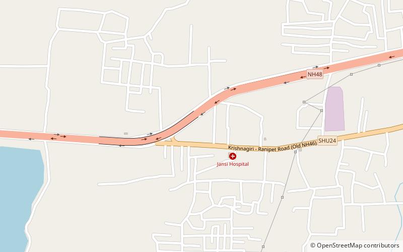
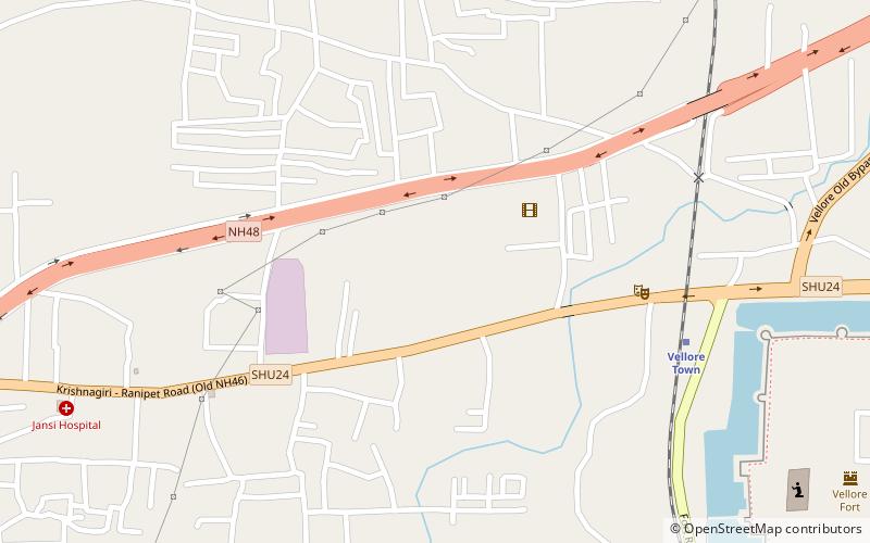
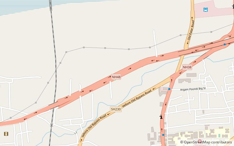
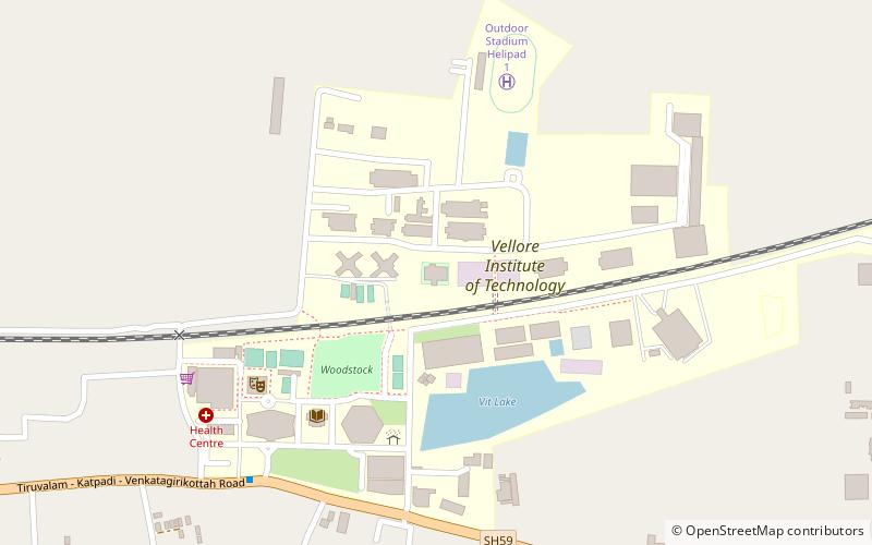
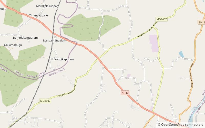
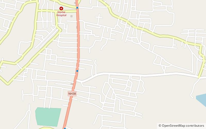
Alternative names: Area: 244018.44 mi²Coordinates: 12°57'11"N, 79°9'18"E
Address

Vellore India

ContactAdd
Social media
Add
Day trips

Kangeyanallur – popular in the area (distance from the attraction)

Nearby attractions include: Vellore Fort, St. John's Church, Golden Temple, Jalakandeswarar Temple.

  • vellore fort2.9 miSW
  • st johns church vellore2.9 miSW
  • golden temple vellore7 miSW
  • jalakandeswarar temple vellore2.7 miSW
  • christian medical college hospital vellore2.3 miSW
  • konavattam vellore location map
    3.6 miSW
  • shenbakkam vellore location map
    3.1 miSW
  • thorapadi vellore location map
    2.3 miSW
  • vellore institute of technology location map
    1.3 miN
  • thiruvalluvar university vellore location map
    6.4 miNE
  • muthurangam govt arts college vellore location map
    4.8 miS

Frequently Asked Questions (FAQ)

How to get to Kangeyanallur by public transport?

The nearest stations to Kangeyanallur:

Bus
  • TNEB bus stop (24 min walk)

Where to next? Visit tamil nadu Tamil Nadu region page or discover the top tourist attractions in India.