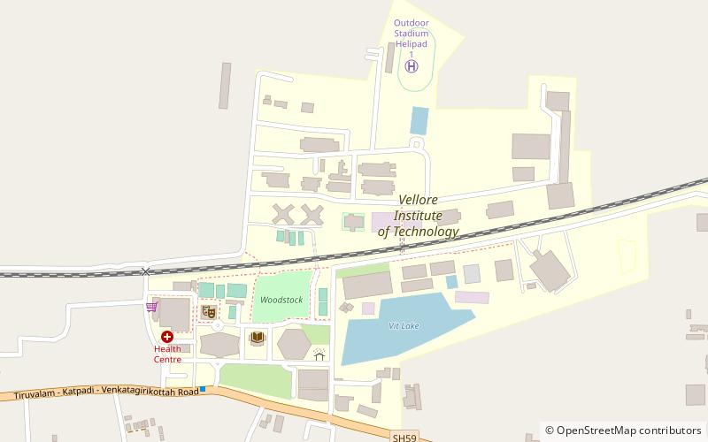
Vellore Institute of Technology, Vellore
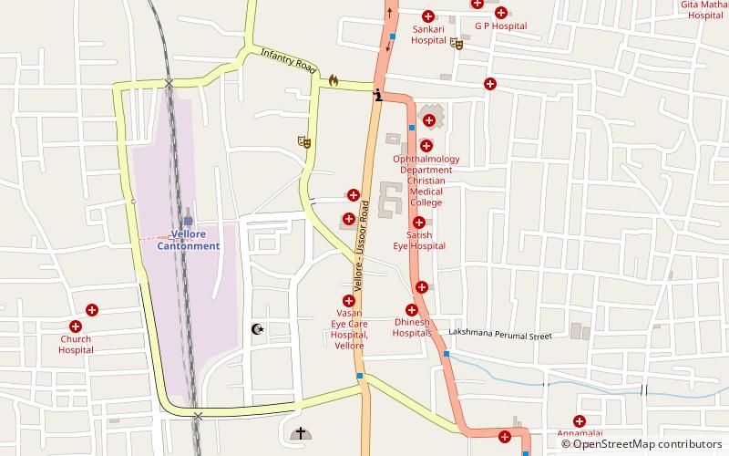
Map
Facts and practical information
Vellore Institute of Technology is a private deemed university located in Vellore, India. Founded in 1984 as Vellore Engineering College by G. Viswanathan, the institution offers 64 Undergraduate, 35 Postgraduate, 16 Integrated, 2 Research and 2 M.Tech Industrial Programmes. It has campuses in Vellore and Chennai and sister universities in Amaravati and Bhopal. ()
Getting there by public transportation
Public transportation stops near this location
- Bus
 Bus
Bus
- Calculate routeTNEB bus stop 41 min walk
Day trips


Frequently Asked Questions (FAQ)
How to get to Vellore Institute of Technology by public transport?
The nearest stations to Vellore Institute of Technology:
Bus
Bus
- TNEB bus stop (41 min walk)