Fort Louis, Pondicherry
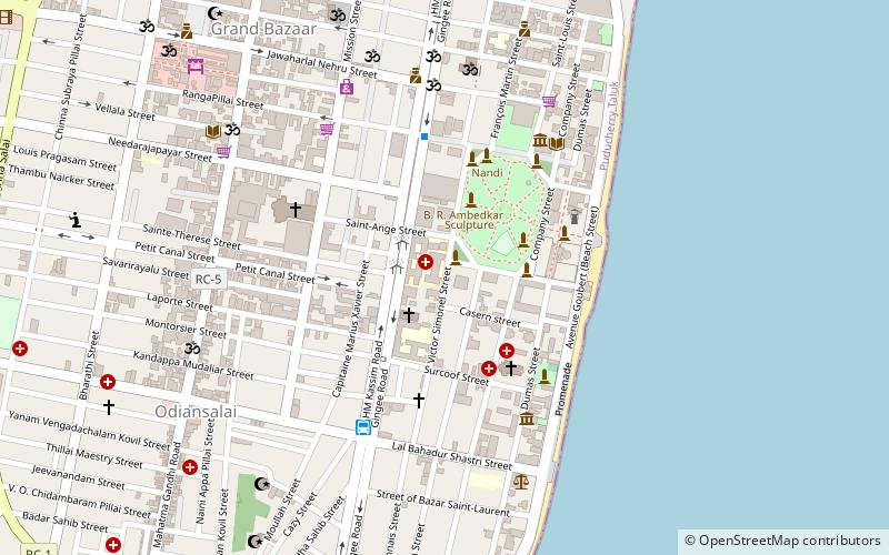
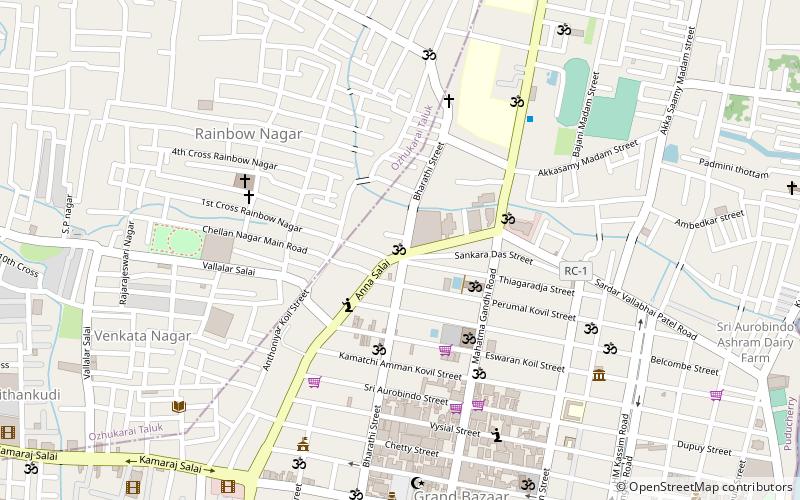
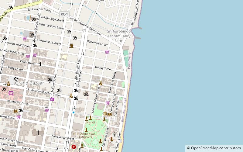
Map
Facts and practical information
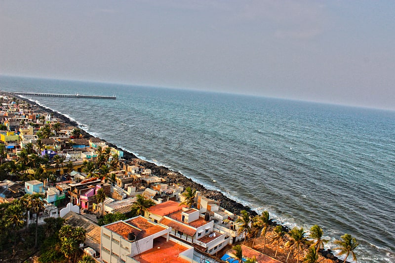
Fort Louis or Fort Saint Louis was a French fort that stood in Pondicherry on the eastern coast of India. The fort was built around 1701 by François Martin and completed posthumously around 1706. A canal separated the native and European settlements. It was destroyed by the English in 1761. The centre of the fort was marked by a citadel that stood where the Bharati Park is currently located. ()
Coordinates: 11°55'54"N, 79°49'59"E
Address
Pondicherry
ContactAdd
Social media
Add
Getting there by public transportation
Public transportation stops near this location
- Bus
- Train
 Bus
Bus
- Calculate routePuducherry 15 min walk
- Calculate routeOld Bus Stand 17 min walk
- Calculate routeSETC bus depot 22 min walk
- Calculate routeTNSTC Bus depot 25 min walk
- Calculate routePuducherry Bus Stand 30 min walk
Day trips
Fort Louis – popular in the area (distance from the attraction)
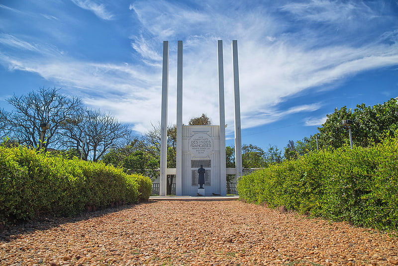
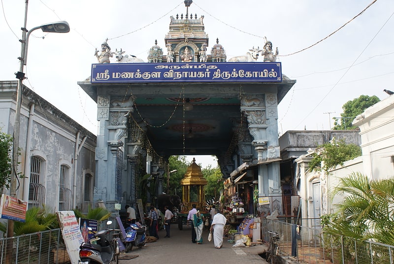
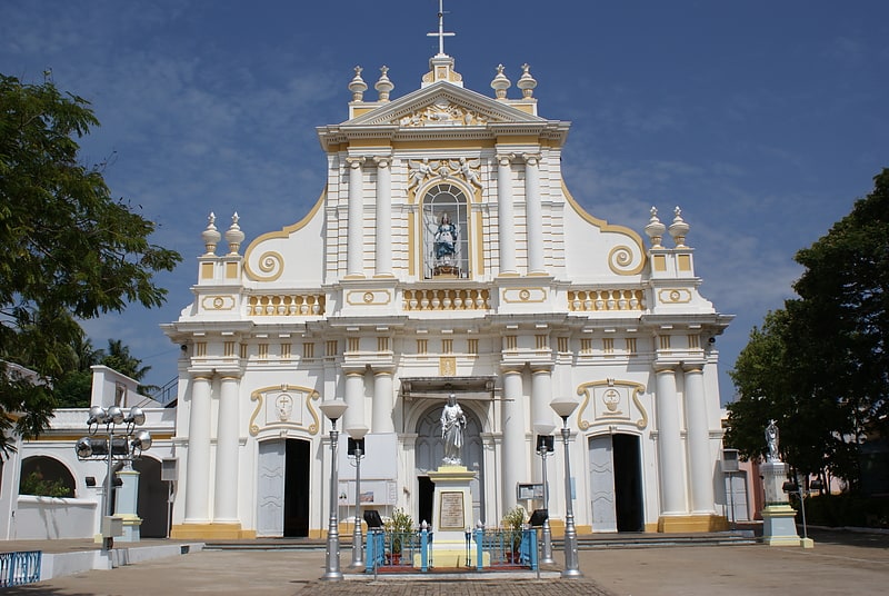
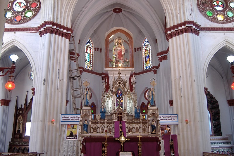
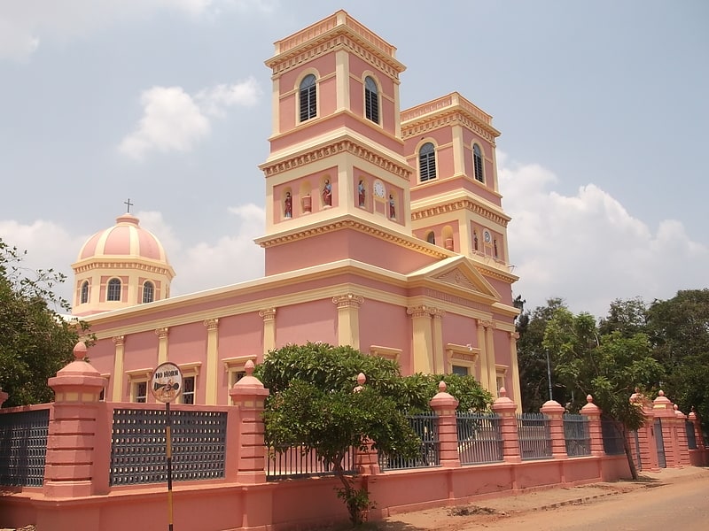
Nearby attractions include: French War Memorial, Manakula Vinayagar Temple, Immaculate Conception Cathedral, Basilica of the Sacred Heart of Jesus.

Frequently Asked Questions (FAQ)
Which popular attractions are close to Fort Louis?
Nearby attractions include Notre dame des Anges Pondichéry, Pondicherry (4 min walk), Our Lady of Angels Church, Pondicherry (4 min walk), French War Memorial, Pondicherry (4 min walk), Promenade Beach, Pondicherry (5 min walk).
How to get to Fort Louis by public transport?
The nearest stations to Fort Louis:
Train
Bus
Train
- Puducherry (15 min walk)
Bus
- Old Bus Stand (17 min walk)
- SETC bus depot (22 min walk)