Sajra and Gojra Forts, Vellore

Gallery (1)
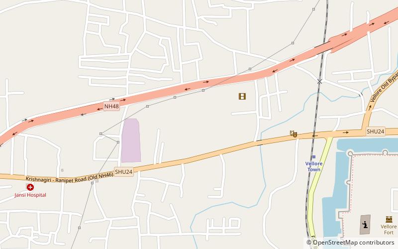
Map

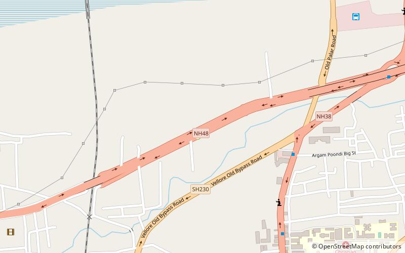
Map
Facts and practical information
Sajra and Gojra forts are hill forts built on top of Naammam Malai hill to the east of Vellore City in the state of Tamil Nadu, India. Sajra and Gojra literally means "smart" and "cute" respectively. ()
Coordinates: 12°55'3"N, 79°8'10"E
Address
Vellore
ContactAdd
Social media
Add
Getting there by public transportation
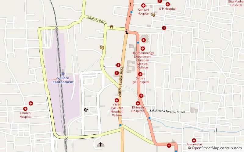
Public transportation stops near this location
- Bus
- Train
 Bus
Bus
- Calculate routeVellore Old Bus Stand 10 min walk
- Calculate routeVellore New Bus Stand 30 min walk
- Calculate routeVellore Cantonment 19 min walk
- Calculate routeVellore Town 22 min walk
Day trips


Frequently Asked Questions (FAQ)
Which popular attractions are close to Sajra and Gojra Forts?
Nearby attractions include Tiruvannamalai district, Vellore (12 min walk), Christian Medical College Vellore, Vellore (14 min walk), Vellore Fort, Vellore (14 min walk), Voorhees College, Vellore (15 min walk).
How to get to Sajra and Gojra Forts by public transport?
The nearest stations to Sajra and Gojra Forts:
Bus
Train
Bus
- Vellore Old Bus Stand (10 min walk)
- Vellore New Bus Stand (30 min walk)
Train
- Vellore Cantonment (19 min walk)
- Vellore Town (22 min walk)