Cultural Zones of India, Nagpur
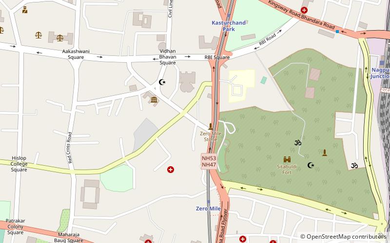
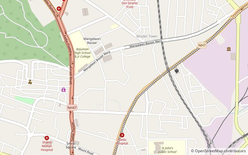
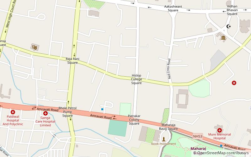
Map
Facts and practical information
The Cultural Zones of India are seven overlapping zones defined by the Ministry of Culture of the Government of India to promote and preserve the cultural heritage of various regions of India. Each of these zones has been provided with a zonal centre. Most zonal centres were announced by the then-Prime Minister of India, Rajiv Gandhi, in 1985 and formally began functioning in the 1986–87 period. Their stated goal is "to strengthen the ancient roots of Indian culture and evolve and enrich composite national culture". ()
Coordinates: 21°9'0"N, 79°4'48"E
Address
Nagpur
ContactAdd
Social media
Add
Day trips
Cultural Zones of India – popular in the area (distance from the attraction)
Nearby attractions include: Vidarbha Cricket Association Ground, Maharajbagh Zoo, Zero Mile, Shukrawari Lake.
Frequently Asked Questions (FAQ)
Which popular attractions are close to Cultural Zones of India?
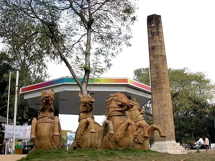
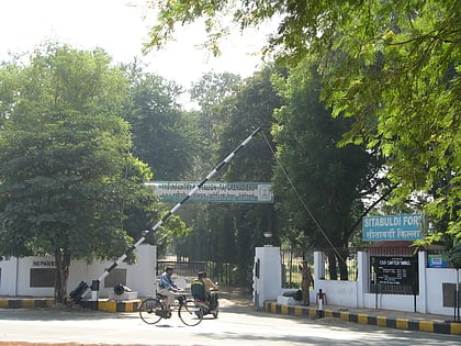
Nearby attractions include Zero Mile, Nagpur (2 min walk), Nagpur Central Museum, Nagpur (4 min walk), Sitabuldi Fort, Nagpur (8 min walk), Bishop Cotton School, Nagpur (12 min walk).
How to get to Cultural Zones of India by public transport?
The nearest stations to Cultural Zones of India:
Metro
Bus
Train
Metro
- Zero Mile • Lines: Orange Line (6 min walk)
- Kasturchand Park • Lines: Orange Line (9 min walk)
Bus
- Sitabuldi City Bus Stand (14 min walk)
- Nagpur Main Bus Stand (34 min walk)
Train
- Nagpur Junction (15 min walk)

