Afzal Gunj, Hyderabad
Map
Facts and practical information
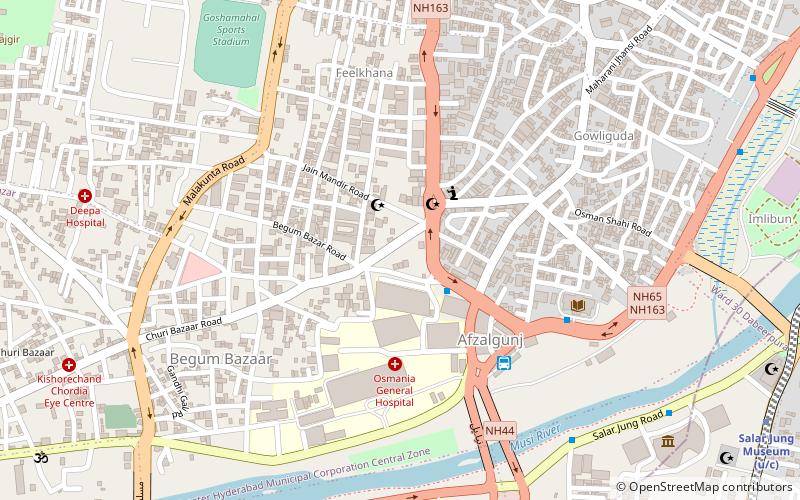
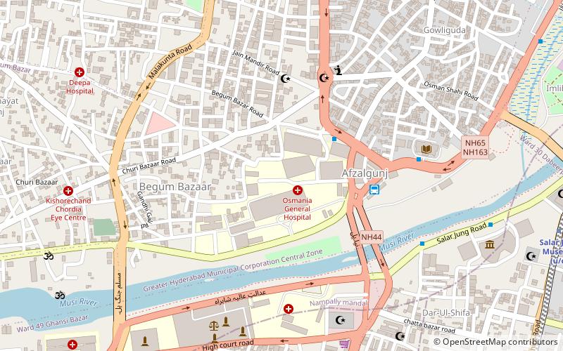
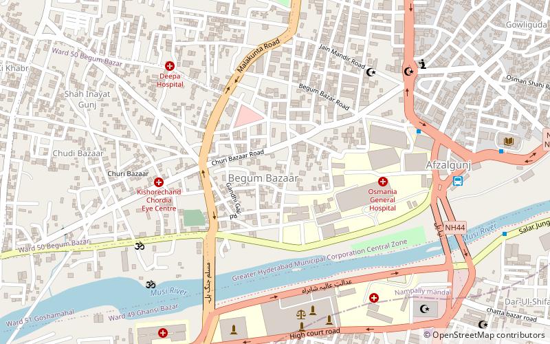
Afzal Gunj is one of the part in Old City, Hyderabad, Telangana, India, close to river Musi. Afzal Gunj is the hub of local transportation due to the presence of Central Bus Station in the region. The bus station provides services to most of parts in the city. ()
Coordinates: 17°22'24"N, 78°28'15"E
Address
Erstwhile Circle-II (Begum Bazar)Hyderabad
ContactAdd
Social media
Add
Day trips
Afzal Gunj – popular in the area (distance from the attraction)
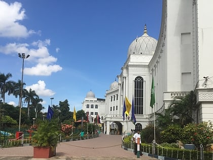
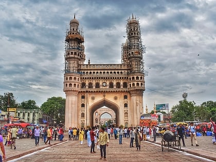
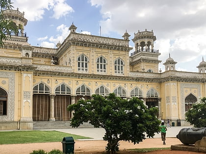
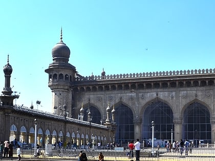
Nearby attractions include: Salar Jung Museum, Charminar, Chowmahalla Palace, Makkah Masjid.
Frequently Asked Questions (FAQ)
Which popular attractions are close to Afzal Gunj?
Nearby attractions include Begum Bazaar, Hyderabad (5 min walk), Akkanna Madanna Temple, Hyderabad (7 min walk), Nayapul, Hyderabad (10 min walk), Madina building, Hyderabad (12 min walk).
How to get to Afzal Gunj by public transport?
The nearest stations to Afzal Gunj:
Bus
Metro
Bus
- Afzalgunj (10 min walk)
- Mahatma Gandhi Bus Station (25 min walk)
Metro
- Gandhi Bhavan • Lines: Red Line (23 min walk)
- Osmania Medical College • Lines: Red Line (24 min walk)
