Ramanjaneyanagar, Bangalore

Map
Facts and practical information
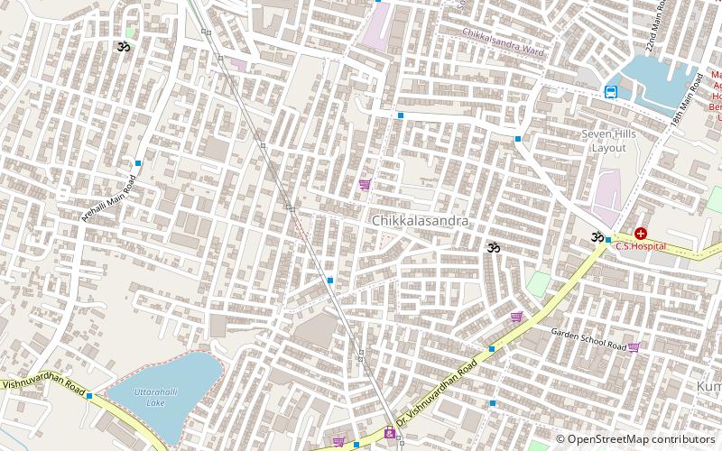
Ramanjaneyanagar is a locality belonging to the assembly constituency of Bangalore South which is the biggest assembly constituency in Bangalore with 3,79,870 voters. This area is also referred to as Sriramanjaneyanagar. ()
Coordinates: 12°54'43"N, 77°32'46"E
Address
Padmanabha NagarBangalore
ContactAdd
Social media
Add
Day trips
Ramanjaneyanagar – popular in the area (distance from the attraction)
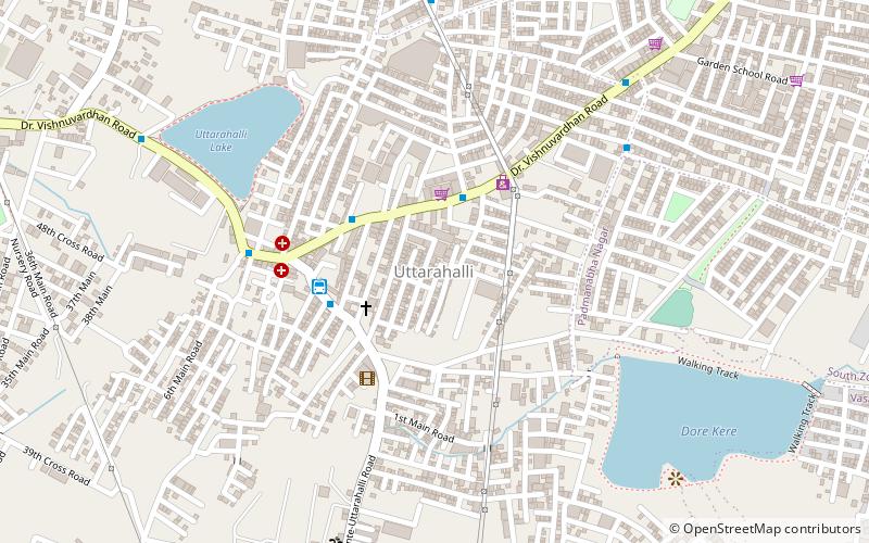
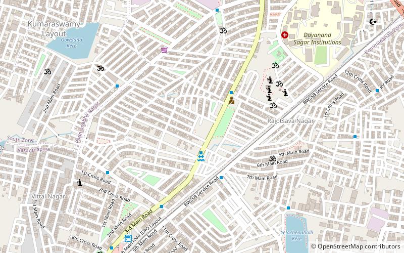
Nearby attractions include: Rajarajeshwari Nagar, Padmanabhanagar, Uttarahalli, Kumaraswamy Layout.
Frequently Asked Questions (FAQ)
Which popular attractions are close to Ramanjaneyanagar?
Nearby attractions include Uttarahalli, Bangalore (12 min walk), Padmanabhanagar, Bangalore (19 min walk).
How to get to Ramanjaneyanagar by public transport?
The nearest stations to Ramanjaneyanagar:
Bus
Bus
- Chikkallasandra Bank Colony • Lines: 375 (8 min walk)
- Krishnarajendra Hospital • Lines: 375 (9 min walk)


