Tannery Road, Bangalore
Facts and practical information
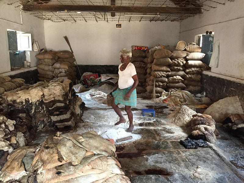
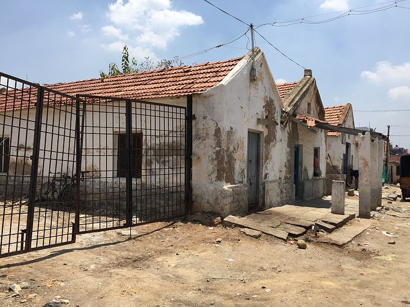
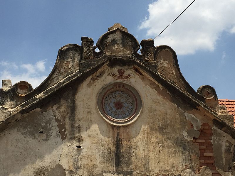
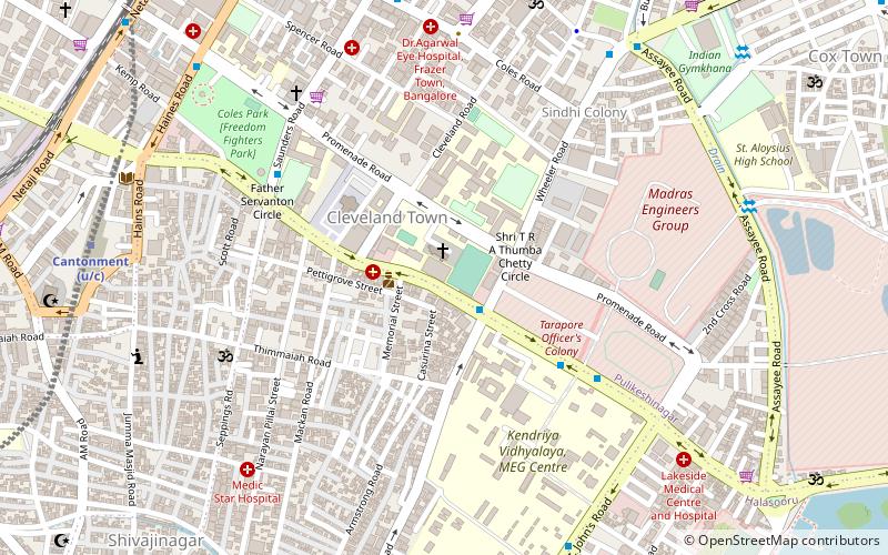
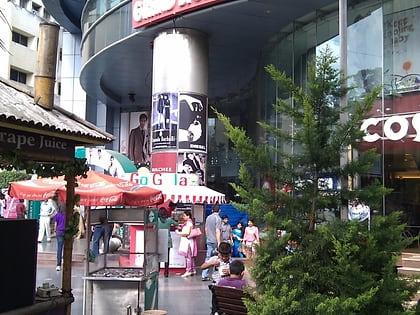
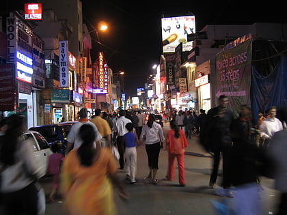
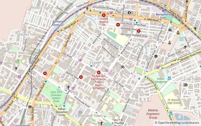
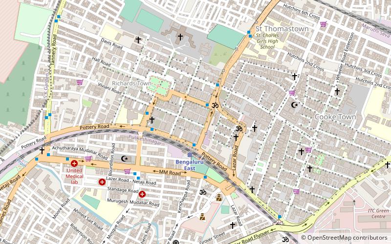
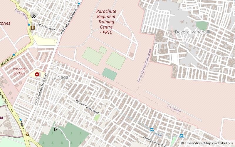
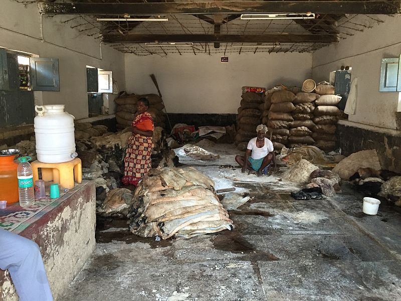
Tannery Road is located in the North East of Bangalore Cantonment, India. It is a 4 km long narrow road with around 700 shops, named after the tanneries of the British India period located at the end of the Road. Tannery Road was officially renamed as Dr B S Ambedkar Road many years back, but it still is referred to by its old name. Tannery Road touches Fraser Town, Richards Town, Giddappa Block, Periyar Nagar and Pillanna Garden. The Tannery Road area is highly populated with a high density. The suburb presents a picture which is a shocking contrast to the hi-tech image of Bangalore. As elections has not brought about any changes, the residents express disillusionment with politicians and politics. Pot-holes and broken pavements are a common feature of Tannery Road, in addition to heavy traffic, water problems, garbage, etc. There is scant respect for traffic rules, and vehicles of all types zoom past in all directions. Residents have to dodge puddles of dirty water and garbage, to move around. ()
Devara Jeevana HalliBangalore
Tannery Road – popular in the area (distance from the attraction)
Nearby attractions include: St. Francis Xavier's Cathedral, St. John's Church, Cunningham Road, Shivajinagar.
Frequently Asked Questions (FAQ)
Which popular attractions are close to Tannery Road?
How to get to Tannery Road by public transport?
Bus
- Canara Bank Tannery Road • Lines: 290, 290A, 290B, 290C, 290D, Mbs14 (4 min walk)
- Doddi • Lines: 290, 290A, 290B, 290C, 290D, Mbs14 (4 min walk)
Train
- Bengaluru East (13 min walk)
- Banaswadi (28 min walk)


