St. Luke's Church, Delhi
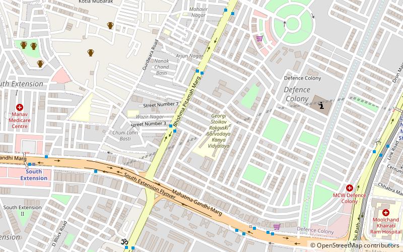
Map
Facts and practical information
St. Luke's Church is a Roman Catholic parish located in Defence Colony B-68, New Delhi, India. It is under the administration of the Archdiocese of Delhi. The building was constructed in 1979. ()
Coordinates: 28°34'12"N, 77°13'40"E
Getting there by public transportation
Public transportation stops near this location
- Metro
- Bus
- Train
 Metro
Metro
- Calculate routePT College 2 min walk
- Calculate routeDefence Colony 4 min walk
- Calculate routeSouth Extension 2 8 min walk
- Calculate routeSouth Extension 12 min walk
- Calculate routeMoolchand 15 min walk
- Calculate routeLajpat Nagar 17 min walk
- Calculate routeSewa Nagar 16 min walk
- Calculate routeLodhi Colony 24 min walk
- Calculate routeLajpat Nagar 31 min walk
Maps Metro
Metro
MetroDay trips


Frequently Asked Questions (FAQ)
Which popular attractions are close to St. Luke's Church?
Nearby attractions include Manesar, Delhi (4 min walk), Defence Colony, Delhi (8 min walk), South Extension, Delhi (12 min walk), Vikram Vihar, Delhi (19 min walk).
How to get to St. Luke's Church by public transport?
The nearest stations to St. Luke's Church:
Bus
Metro
Train
Bus
- PT College • Lines: 440, 450, 47A, 521, 623 (2 min walk)
- Defence Colony • Lines: 440, 450, 47A, 48, 521, 522, 623 (4 min walk)
Metro
- South Extension • Lines: Pink Line (12 min walk)
- Moolchand • Lines: Violet Line (15 min walk)
Train
- Sewa Nagar (16 min walk)
- Lodhi Colony (24 min walk)