Donard

Gallery (1)
Map
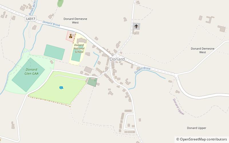
Map
Facts and practical information
Donard is a small village in County Wicklow, Ireland, located at the northern end of the Glen of Imaal, in the western part of the Wicklow Mountains. ()
Location
Wicklow
ContactAdd
Social media
Add
Day trips