Rathcoran

Map
Facts and practical information
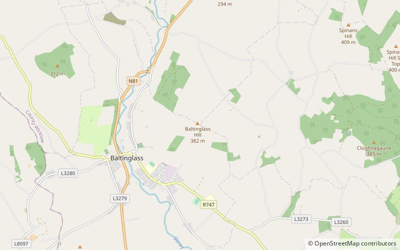
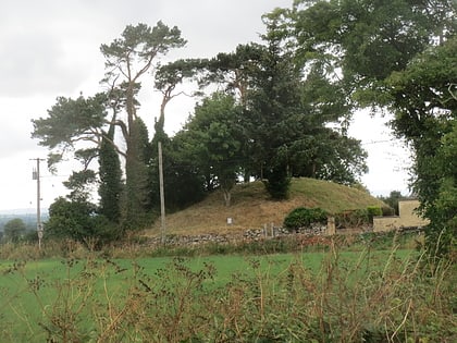
Rathcoran is a passage grave and hillfort and National Monument located atop Baltinglass Hill, County Wicklow, Ireland. ()
Coordinates: 52°56'49"N, 6°41'0"W
Location
Wicklow
ContactAdd
Social media
Add
Day trips
Rathcoran – popular in the area (distance from the attraction)
Nearby attractions include: Keadeen Mountain, Baltinglass Abbey, Dwyer–McAllister Cottage, Sugarloaf.


