Crossoona Rath
#1091 among destinations in Ireland

Facts and practical information
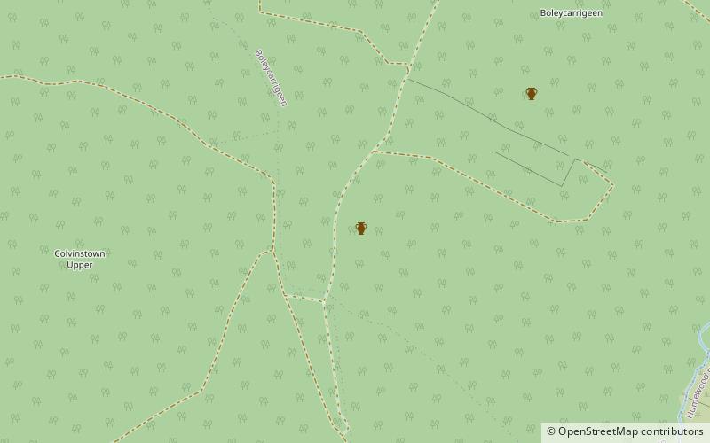
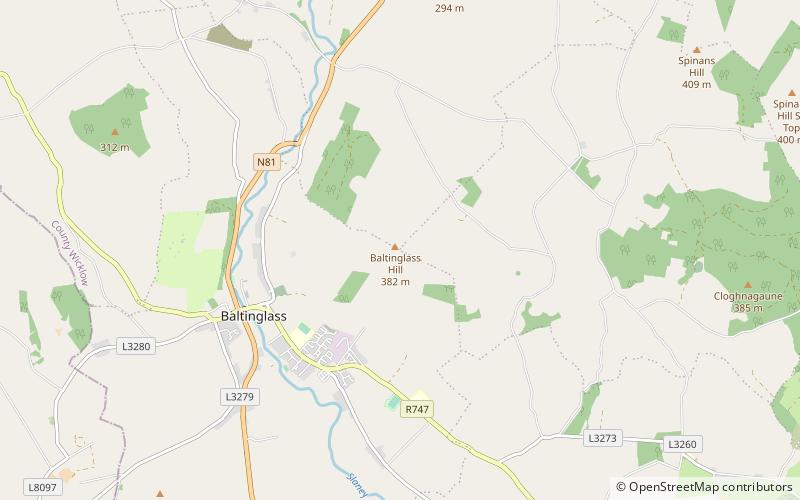
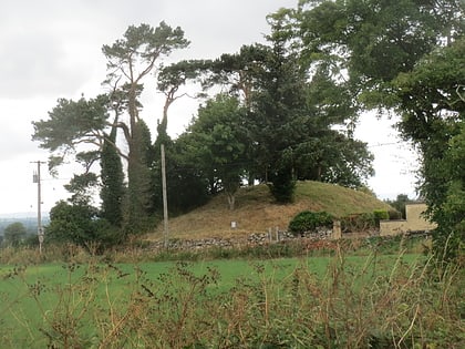
Crossoona Rath is a ringfort located in County Wicklow, Ireland. Together with a nearby ogham stone, it forms a National Monument. ()
WicklowIreland
Crossoona Rath – popular in the area (distance from the attraction)
Nearby attractions include: Keadeen Mountain, Baltinglass Abbey, Slievemaan, Rathcoran.
 Nature, Natural attraction, Mountain
Keadeen Mountain
37 min walk • Keadeen Mountain at 653 metres, is the 152nd–highest peak in Ireland on the Arderin scale, and the 184th–highest peak on the Vandeleur-Lynam scale.
 Archaeological site
Baltinglass Abbey
136 min walk • Baltinglass Abbey is a former Cistercian abbey founded in 1148 and located in Baltinglass, Ireland. It is today a National Monument.
 Nature, Natural attraction, Mountain
Slievemaan
138 min walk • Slievemaan at 759 metres, is the 54th–highest peak in Ireland on the Arderin scale, and the 70th–highest peak on the Vandeleur-Lynam scale.
 Archaeological site
Rathcoran
74 min walk • Rathcoran is a passage grave and hillfort and National Monument located atop Baltinglass Hill, County Wicklow, Ireland.
 Nature, Natural attraction, Mountain
Table Mountain, Wicklow Mountains National Park
191 min walk • Table Mountain is a 702-metre peak in the southern section of the Wicklow Mountains range in Ireland. With a prominence of only 16 metres, it is only listed in a few of the recognised categories of mountains in Ireland; it is the 110th–highest peak on the Vandeleur-Lynam Irish scale.
 Museum
Dwyer–McAllister Cottage
62 min walk • The Dwyer–McAllister Cottage is a thatched cottage and National Monument located in the Glen of Imaal, County Wicklow, Ireland.
 Nature, Natural attraction, Mountain
Sugarloaf
132 min walk • Sugarloaf is a 552 metres peak in west Wicklow, Ireland that lies on the northern edge of the Glen of Imaal. With a prominence of only 14 metres, it is not listed in any of the recognised categories of mountains in Ireland, and is a subsidiary summit of Lobawn 636 metres, to the north.
 Memorial
Castleruddery Stone Circle
86 min walk • Castleruddery Stone Circle is a recumbent stone circle and National Monument located in County Wicklow, Ireland.
 Archaeological site
Rathvilly Moat, Rathvilly
132 min walk • Rathvilly Moat is a motte and National Monument located in County Carlow, Ireland.
 Nature, Natural attraction, Mountain
Lobawn
157 min walk • Lobawn at 636 metres, is the 182nd–highest peak in Ireland on the Arderin scale, and the 219th–highest peak on the Vandeleur-Lynam scale. Lobawn has a flat boggy summit plateau with a "war department" concrete post to mark the top.
 Town
TownHacketstown
154 min walk • One of the highlights of Hacketstown is its proximity to the beautiful Wicklow Mountains, which provide ample opportunities for outdoor activities such as hiking, mountain biking, and birdwatching. Nature enthusiasts will be delighted by the lush greenery...