The Black Valley
#654 among destinations in Ireland
![The Black Valley location map](https://tzmedia.b-cdn.net/media/images/static-maps/ie/51_9487_-9_6465.jpg)
Facts and practical information
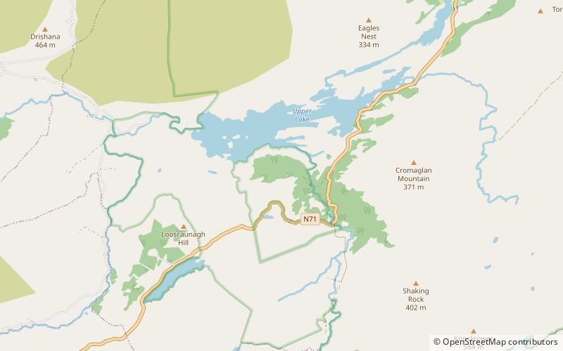
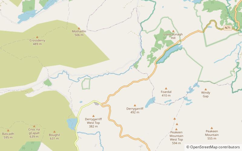
The Black Valley or Cummeenduff is a remote valley at the southern end of the MacGillycuddy's Reeks mountain range in Kerry, situated south of the Gap of Dunloe and north of Moll's Gap; it is used as a southerly access into the Gap of Dunloe. ()
KerryIreland
The Black Valley plan & book
Unleash the traveler in you — discover the cheapest flight deals, find the perfect hotel or hostel nearby, and search for the best car rental prices. Travel at your own pace to discover new places and enjoy your journey.
The Black Valley – popular in the area (distance from the attraction)
Nearby attractions include: Carrauntoohil, Derrycunnihy Wood, Purple Mountain, Cnoc na Péiste.
5.4 miNWNatural attraction, Park, MountainCarrauntoohil, Killarney
138 min walk • Carrauntoohil stands as the tallest peak in Ireland, dominating the skyline at an impressive height of 1,038 meters (3,406 feet). Located in the heart of County Kerry, near the scenic town of Killarney, this mountain is the central attraction of the MacGillycuddy's...
2.8 miNEForestDerrycunnihy Wood, Killarney National Park
72 min walk • Derrycunnihy Wood is a national nature reserve of approximately 336 acres located in County Kerry, Ireland. It is managed by Coillte.
4.2 miNPurple-hued peak for challenging hikesPurple Mountain, Killarney National Park
108 min walk • Purple Mountain at 832 metres high, is the 21st–highest peak in Ireland on the Arderin scale, and the 28th–highest according to the Vandeleur-Lynam scale. It is located in County Kerry, and is the highest point of the Purple Mountain Group.
4 miNWNature, Natural attraction, MountainCnoc na Péiste
102 min walk • Cnoc na Péiste, anglicised Knocknapeasta, at 988 metres, is the fourth-highest peak in Ireland, on the Arderin and Vandeleur-Lynam lists. Cnoc na Péiste is part of the MacGillycuddy's Reeks range in County Kerry.
4 miNWNature, Natural attraction, MountainThe Big Gun
103 min walk • The Big Gun, at 939 metres high, is the ninth-highest peak in Ireland on the Arderin list, or the tenth-highest according to the Vandeleur-Lynam list.
3.9 miNWNature, Natural attraction, MountainMaolán Buí
101 min walk • Maolán Buí, also known by the name Bearna Rua, at 973 metres high, is the fifth-highest peak in Ireland on the Arderin list, or the sixth-highest peak in Ireland according to the Vandeleur-Lynam list. Maolán Buí is also known for its narrow north-west spur, called The Bone. It is part of the MacGillycuddy's Reeks in Kerry.
5.1 miWNature, Natural attraction, MountainStumpa Dúloigh
129 min walk • Stumpa Dúloigh also known as Maol, is the highest of the Dunkerron Mountains, part of the Mountains of the Iveragh Peninsula in County Kerry, Ireland. It has a height of 784 metres and lies southwest of MacGillycuddy's Reeks.
0.8 miSWNature, Natural attraction, Mountain passMoll's Gap, Killarney
22 min walk • Moll's Gap or Céim an Daimh, is a mountain pass on the N71 road from Kenmare to Killarney in Kerry, Ireland. Moll's Gap is on the Ring of Kerry route, and offers views of the MacGillycuddy's Reeks mountains, and is a popular tourist location.
3.3 miNWNature, Natural attraction, MountainBrassel Mountain
85 min walk • Brassel Mountain at 575 metres, is the 261-st highest peak in Ireland, on the Arderin scale. It is part of the MacGillycuddy's Reeks range in County Kerry.
4 miNWNature, Natural attraction, MountainCnoc an Chuillin
103 min walk • Cnoc an Chuillinn, at 958 metres, is the sixth-highest peak in Ireland on the Arderin list and the seventh-highest peak in Ireland on the Vandeleur-Lynam list.
4.5 miWNature, Natural attraction, MountainBroaghnabinnia
116 min walk • Broaghnabinnia is a summit of the Dunkerron Mountains, part of the Mountains of the Iveragh Peninsula in County Kerry, Ireland.