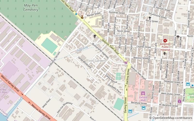
Tivoli Gardens, Kingston
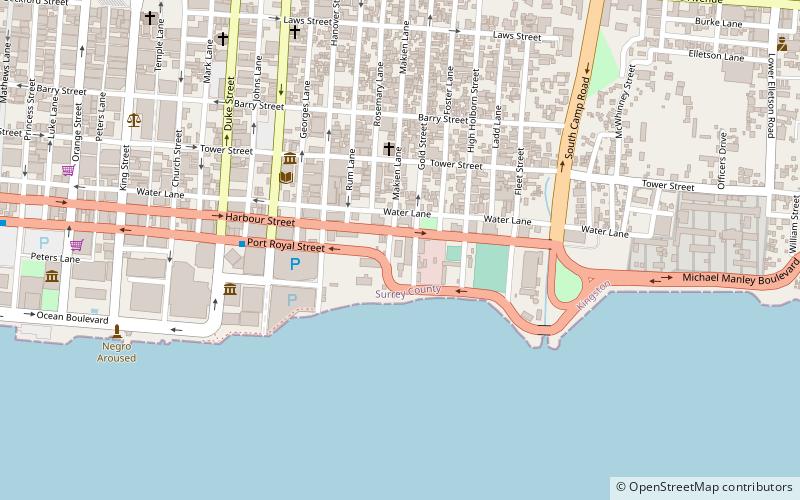
Map
Facts and practical information
Tivoli Gardens is a neighbourhood in Kingston, Jamaica. Developed as a renewal project between 1963 and 1965, the neighbourhood continued to suffer from poverty. By the late twentieth century it had become a center of drug trafficking activity and social unrest. Repeated confrontations took place between law enforcement and gunmen in the neighborhood in 1997, 2001, 2005, 2008, and 2010. ()
Address
Kingston
ContactAdd
Social media
Add
Getting there by public transportation
Public transportation stops near this location
- Bus
- Train
 Bus
Bus
- Calculate routeRural Bus Park 9 min walk
- Calculate routeDowntown Municipal Transport Center 10 min walk
- Calculate routeDowntown Kingston Transport Centre 14 min walk
- Calculate routeDowntown 14 min walk
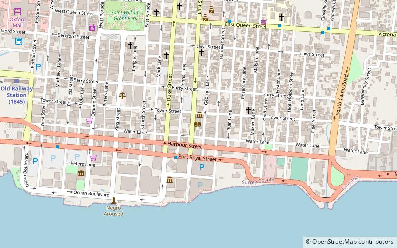
- Calculate routeOld Railway Station 13 min walk
Day trips


Frequently Asked Questions (FAQ)
Which popular attractions are close to Tivoli Gardens?
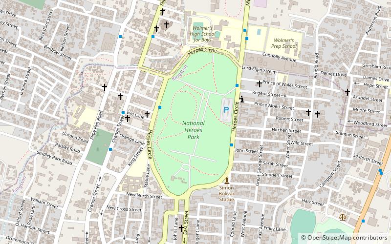
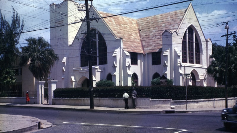
Nearby attractions include Denham Town, Kingston (19 min walk), Shaare Shalom Synagogue, Kingston (20 min walk), Church of the Redeemer, Kingston (20 min walk), National Gallery of Jamaica, Kingston (21 min walk).
How to get to Tivoli Gardens by public transport?
The nearest stations to Tivoli Gardens:
Bus
Train
Bus
- Rural Bus Park (9 min walk)
- Downtown Municipal Transport Center (10 min walk)
Train
- Old Railway Station (13 min walk)