Daigo-oohashi, Chichibu-Tama-Kai National Park

Gallery (1)
Map
Map
Facts and practical information
Daigo-oohashi is a place located in Chichibu-Tama-Kai National Park (Tokyo metropolis) and belongs to the category of bridge.
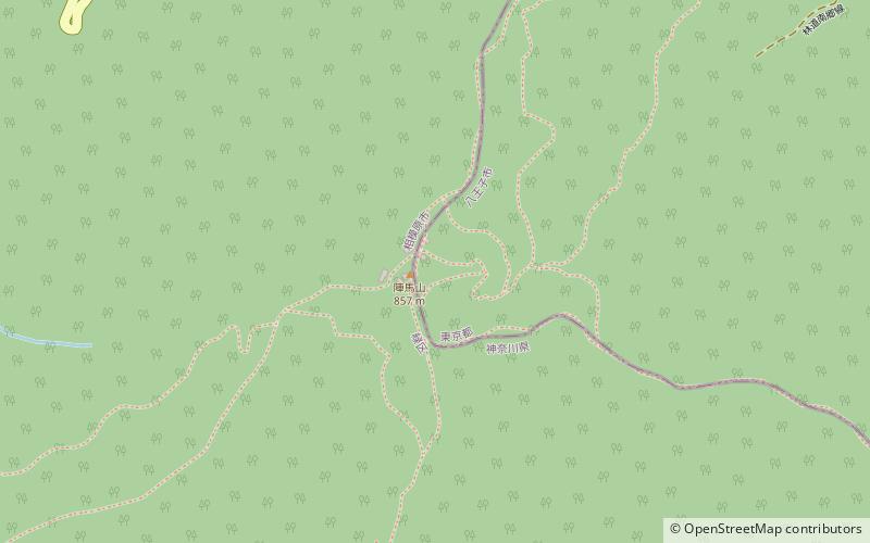
It is situated at an altitude of 1161 feet, and its geographical coordinates are 35°40'41"N latitude and 139°11'20"E longitude.
Among other places and attractions worth visiting in the area are: Mount Jinba (nature, 56 min walk), Jiu chu shan (nature, 61 min walk), Hachiōji Castle, Hachioji (historical place, 102 min walk).
Coordinates: 35°40'41"N, 139°11'20"E
Address
八王子 (ba wang zi)Chichibu-Tama-Kai National Park
ContactAdd
Social media
Add
Day trips