Tōgō, Toyota

Gallery (2)
Map
Map
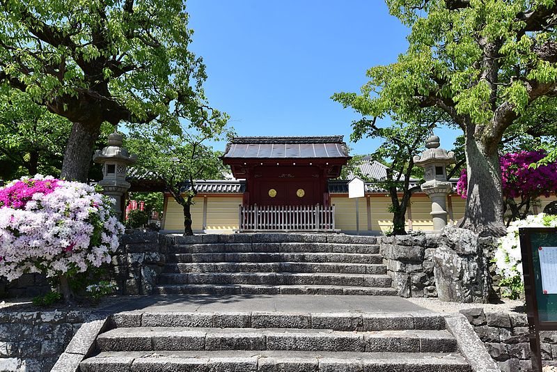
Gallery
Facts and practical information
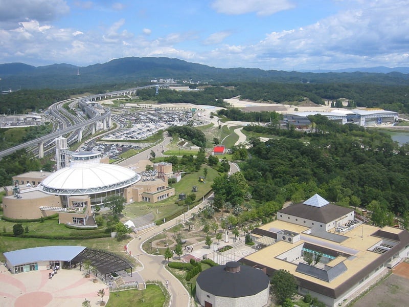
Tōgō is a town located in Aichi District, Aichi Prefecture, Japan. As of 1 October 2019, the town had an estimated population of 44,109 in 17,792 households, and a population density of 2,446 persons per km². The total area of the town was 18.03 square kilometres. ()
Address
Toyota
ContactAdd
Social media
Add
Day trips