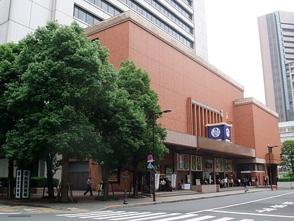
Harumi Futo, Tokyo
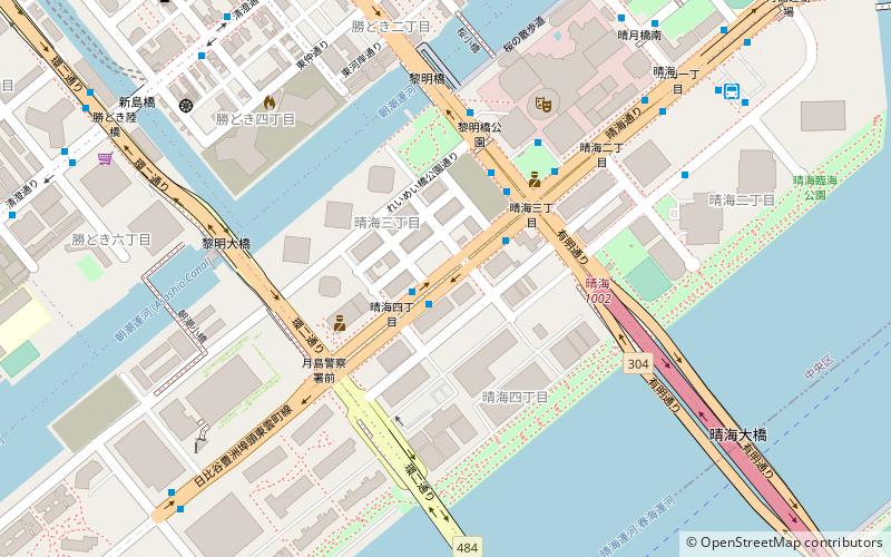
Map
Facts and practical information
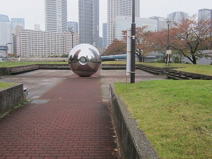
Harumi Futō is located in Harumi, an island district of Chūō, Tokyo. 'Harumi' may mean sunny, spring or beauty, while 'futō' refers to coastline or pier. The harbour pier supports Harumi Terminal Park which berths cruise ships, and is part of an urban redevelopment project site associated with the 2020 Olympic Village. ()
Coordinates: 35°39'15"N, 139°46'48"E
Address
中央区 (晴海)Tokyo
ContactAdd
Social media
Add
Day trips
Harumi Futo – popular in the area (distance from the attraction)
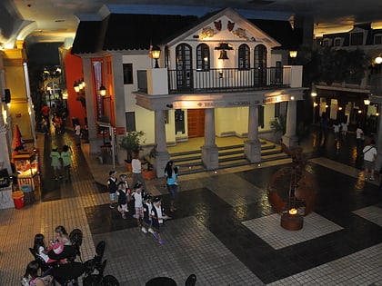
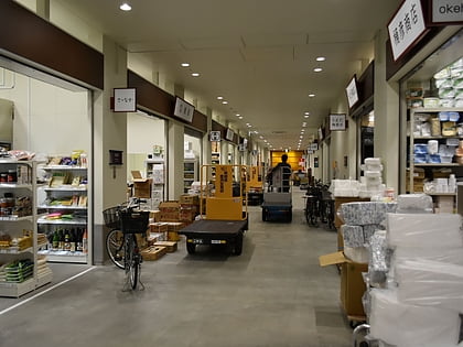
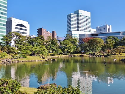
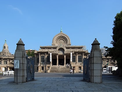
Nearby attractions include: Tsukiji Fish Market, KidZania Tokyo, Hamarikyu Gardens, Toyosu Market.
Frequently Asked Questions (FAQ)
Which popular attractions are close to Harumi Futo?
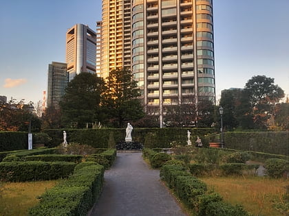
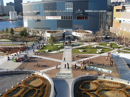
Nearby attractions include The Tokyo Towers, Tokyo (10 min walk), Kachidoki View Tower, Tokyo (10 min walk), Harumi Island Triton Square, Tokyo (14 min walk), Toyosu, Tokyo (15 min walk).
How to get to Harumi Futo by public transport?
The nearest stations to Harumi Futo:
Bus
Metro
Light rail
Ferry
Train
Bus
- ホテルマリナーズコート東京前 • Lines: 都03, 都05-1, 都05-1出入, 錦13出入, 錦13甲 (1 min walk)
- Harumi 3-chome • Lines: 南循環, 市01, 晴海02, 東15, 東15乙, 都03, 都05-1, 都05-1出入, 都05-2, 錦13出入, 錦13甲 (3 min walk)
Metro
- Kachidoki • Lines: E (10 min walk)
- Tsukishima • Lines: E, Y (20 min walk)
Light rail
- Shijō-mae • Lines: U (17 min walk)
- Shin-toyosu • Lines: U (18 min walk)
Ferry
- 竹芝桟橋 • Lines: 大島フェリー航路 岡田港 直通便, 東京~小笠原(父島)航路 (25 min walk)
Train
- Etchūjima (31 min walk)
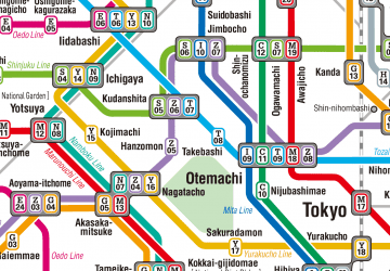 Metro
Metro
