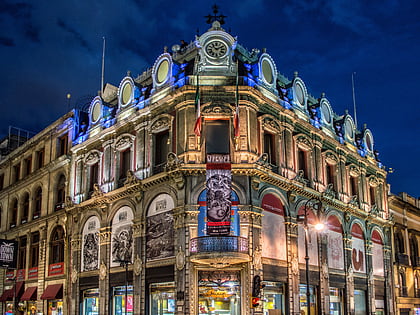
Francisco I. Madero Avenue, Mexico City
Map
Gallery

Facts and practical information
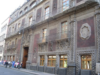
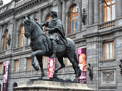
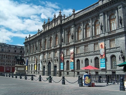
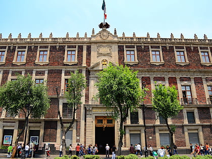
Francisco I. Madero Avenue, commonly known as simply Madero Street, is a geographically and historically significant pedestrian street of Mexico City and a major thoroughfare of the historic city center. It has an east–west orientation from Zócalo to the Eje Central. From that point the street is called Avenida Juárez and becomes accessible to one-way traffic from one of the city's main boulevards, the Paseo de la Reforma. ()
Address
Cuauhtémoc (Centro)Mexico City
ContactAdd
Social media
Add
Day trips
Francisco I. Madero Avenue – popular in the area (distance from the attraction)
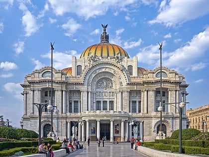
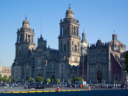
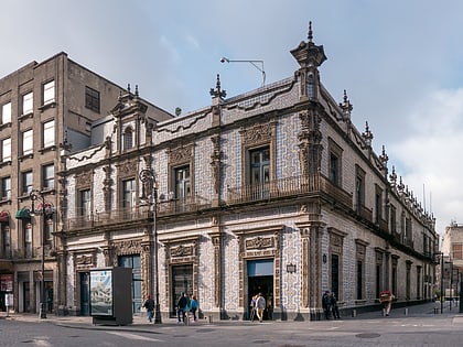
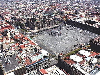
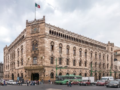
Nearby attractions include: Palacio de Bellas Artes, Mexico City Metropolitan Cathedral, Casa de los Azulejos, Zócalo.
Frequently Asked Questions (FAQ)
Which popular attractions are close to Francisco I. Madero Avenue?
Nearby attractions include Borda House, Mexico City (2 min walk), Church of San Felipe Neri "La Profesa", Mexico City (2 min walk), Museo del Calzado El Borceguí, Mexico City (2 min walk), Museo del Estanquillo, Mexico City (3 min walk).
How to get to Francisco I. Madero Avenue by public transport?
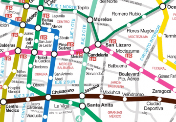
The nearest stations to Francisco I. Madero Avenue:
Metro
Train
Bus
Metro
- Allende • Lines: 2 (4 min walk)
- Bellas Artes • Lines: 2, 8 (8 min walk)
Train
- Bellas Artes (7 min walk)
- Isabel la Católica (13 min walk)
Bus
- Bellas Artes • Lines: 4 (8 min walk)
- Teatro Blanquita • Lines: 4 (10 min walk)


 Metro
Metro