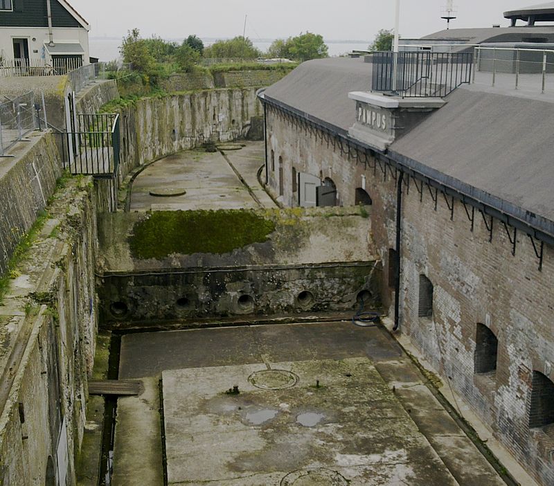
Fort Pampus Batterij, Stelling van Amsterdam

Gallery (3)
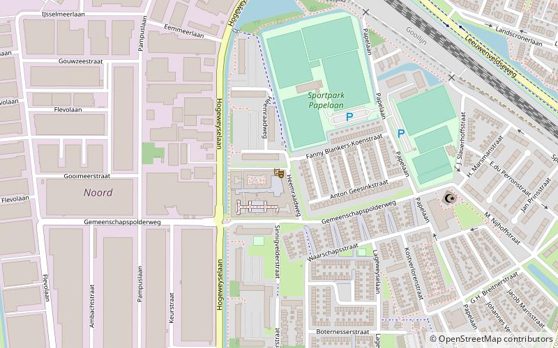
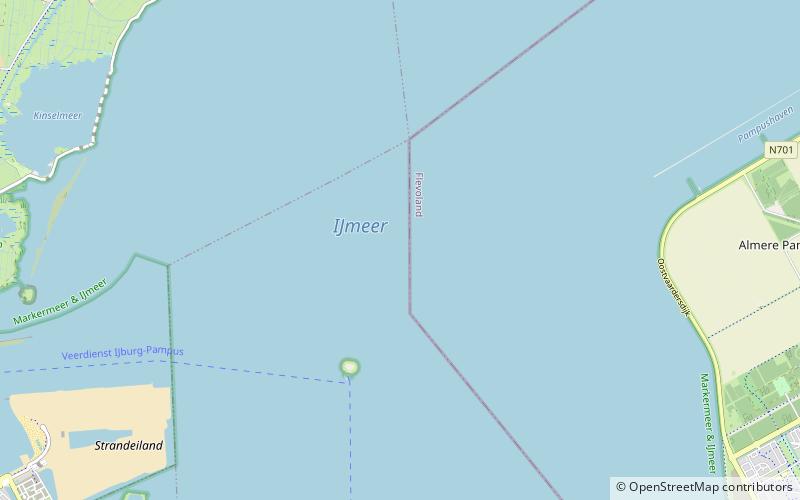
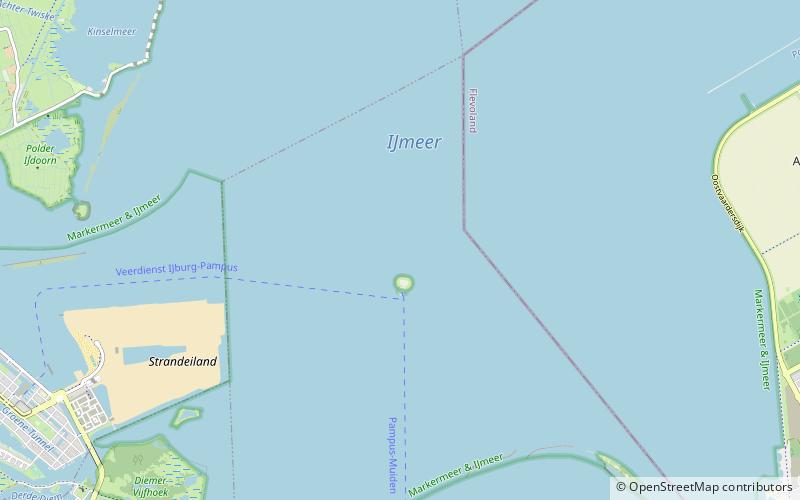
Map
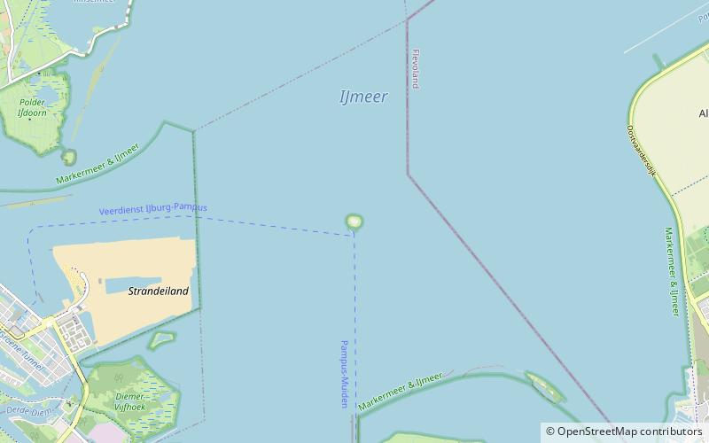
Map
Gallery
Facts and practical information
Getting there by public transportation
Public transportation stops near this location
- Ferry
 Ferry
Ferry
- Calculate routePampus steiger 2 min walk
Day trips


Frequently Asked Questions (FAQ)
Which popular attractions are close to Fort Pampus Batterij?
Nearby attractions include Pampus, Stelling van Amsterdam (1 min walk), Bordering lakes, Stelling van Amsterdam (7 min walk), IJmeer, Stelling van Amsterdam (24 min walk).
How to get to Fort Pampus Batterij by public transport?
The nearest stations to Fort Pampus Batterij:
Ferry
Ferry
- Pampus steiger • Lines: Veerdienst IJburg - Pampus, Veerdienst Pampus - IJburg (2 min walk)