Zeeburgereiland, Amsterdam
Map

Map

Facts and practical information
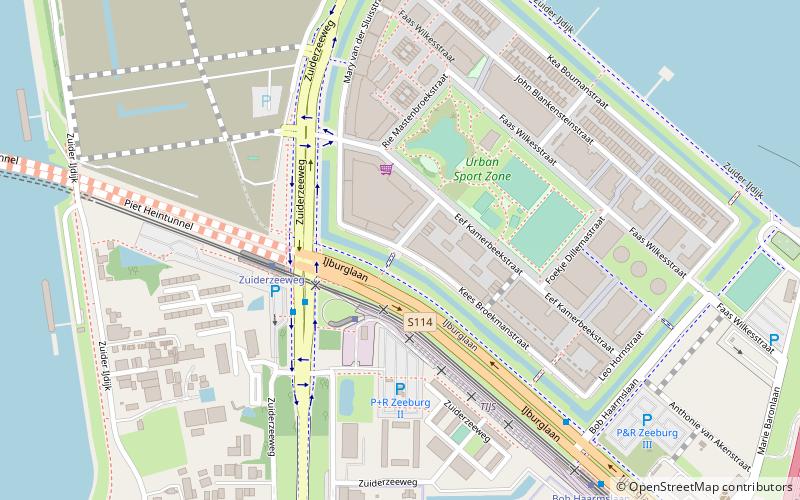
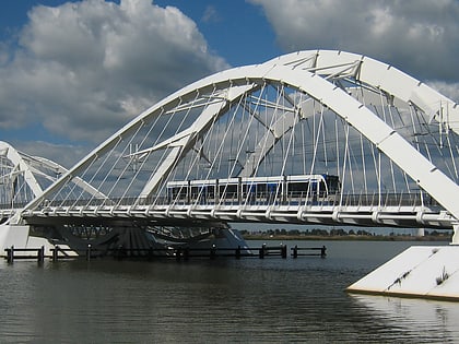
The Zeeburgereiland is a triangular island on the east side of Amsterdam, in the Dutch province of North Holland. It lies between the Oranje Locks and the Diemerzeedijk and on the east is bordered by the IJ. Formerly an industrial area, the island is being redeveloped as part of the IJburg new neighbourhood. It is crossed by the A10 motorway and, since 2005, the IJ Tram line of the Amsterdam Tram system. ()
Address
Zeeburg (Zeeburgereiland en Nieuwe Diep)Amsterdam
ContactAdd
Social media
Add
Day trips
Zeeburgereiland – popular in the area (distance from the attraction)
Nearby attractions include: Press Museum, Nesciobrug, Python Bridge, Enneüs Heerma Bridge.
Frequently Asked Questions (FAQ)
Which popular attractions are close to Zeeburgereiland?
Nearby attractions include Holland Sport Boat Centre, Amsterdam (7 min walk), Piet Hein Tunnel, Amsterdam (10 min walk), Scheepstimmermanstraat, Amsterdam (17 min walk), Python Bridge, Amsterdam (17 min walk).
How to get to Zeeburgereiland by public transport?
The nearest stations to Zeeburgereiland:
Bus
Tram
Bus
- Zuiderzeeweg • Lines: 245, 37, N89 (3 min walk)
- Bob Haarmslaan • Lines: N89 (7 min walk)
Tram
- Zuiderzeeweg • Lines: 26 (3 min walk)
- Bob Haarmslaan • Lines: 26 (7 min walk)

 Metro / Trams


