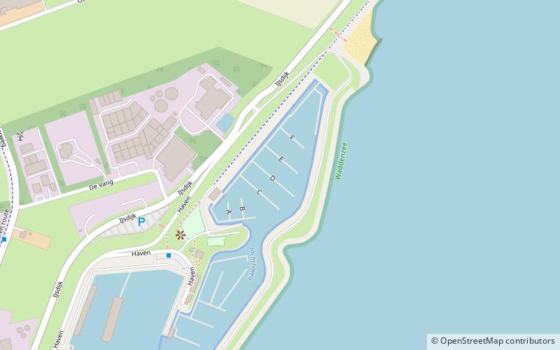
Waddenhaven Texel, Texel

Gallery (1)
Map
Map
Facts and practical information
Waddenhaven Texel (address: Haven 26) is a place located in Texel (Noord-Holland province) and belongs to the category of sailing, marina.
It is situated at an altitude of 0 feet, and its geographical coordinates are 53°2'43"N latitude and 4°51'32"E longitude.
Among other places and attractions worth visiting in the area are: De Traanroeier (historical place, 17 min walk), Maritime & Beachcombers Museum (specialty museum, 17 min walk), De Zelfpluktuin (park, 28 min walk).
Coordinates: 53°2'43"N, 4°51'32"E
Address
Haven 26Texel
ContactAdd
Social media
Add
Day trips


Frequently Asked Questions (FAQ)
Which popular attractions are close to Waddenhaven Texel?
Nearby attractions include De Traanroeier, Texel (17 min walk), Maritime & Beachcombers Museum, Texel (17 min walk).