Purmerplein, Amsterdam
Map

Map

Facts and practical information
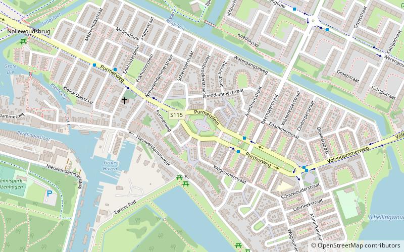
Purmerplein in Amsterdam-Noord is a square in the village of Nieuwendam, which has belonged to the municipality of Amsterdam since 1921. The Purmerplein forms the center of Tuindorp Nieuwendam, an expansion district with mainly working-class houses built between 1924 and 1934 under the direction of the Gemeentelijke Woningdienst Amsterdam.
Coordinates: 52°23'28"N, 4°56'39"E
Address
Stadsdeel Noord (Tuindorp Nieuwendam)Amsterdam
ContactAdd
Social media
Add
Day trips
Purmerplein – popular in the area (distance from the attraction)
Nearby attractions include: Mezrab, Dansmakers Amsterdam, D'Admiraal, Eastern Docklands.
Frequently Asked Questions (FAQ)
Which popular attractions are close to Purmerplein?
Nearby attractions include Tuindorp Nieuwendam, Amsterdam (2 min walk), Nieuwendam, Amsterdam (11 min walk), Buikslotermeer, Amsterdam (23 min walk).
How to get to Purmerplein by public transport?
The nearest stations to Purmerplein:
Bus
Ferry
Metro
Tram
Bus
- Purmerplein • Lines: 35, N91 (2 min walk)
- Purmerweg • Lines: 35, N91 (6 min walk)
Ferry
- Veer Zamenhofstraat • Lines: F1 (19 min walk)
Metro
- Noord • Lines: 52 (23 min walk)
- Noorderpark • Lines: 52 (28 min walk)
Tram
- Azartplein • Lines: 7 (27 min walk)
- Kattenburgerstraat • Lines: 26 (36 min walk)

 Metro / Trams


