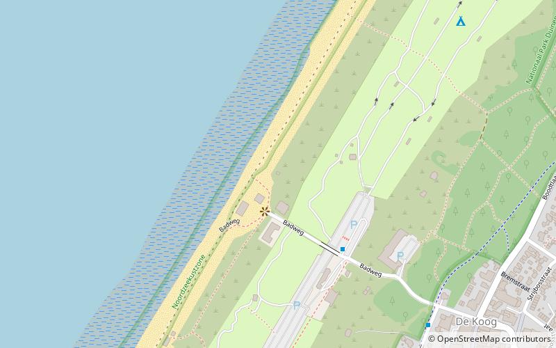
Texelse Reddingsbrigade post 20, Duinen van Texel National Park
Map

Map

Facts and practical information
Texelse Reddingsbrigade post 20 is a place located in Duinen van Texel National Park (Noord-Holland province) and belongs to the category of sightseeing.
It is situated at an altitude of 26 feet, and its geographical coordinates are 53°6'9"N latitude and 4°45'23"E longitude.
Among other places and attractions worth visiting in the area are: EcoMare (park, 46 min walk), Schipbreuk- en Juttersmuseum, Texel (history museum, 55 min walk), De Kemphaan, Texel (windmill, 58 min walk).
Coordinates: 53°6'9"N, 4°45'23"E
Day trips
Texelse Reddingsbrigade post 20 – popular in the area (distance from the attraction)
Nearby attractions include: Eierland Lighthouse, Zwembad Molenkoog, Maritime & Beachcombers Museum, Schipbreuk- en Juttersmuseum.


