Haagse Hout, The Hague
Map
Facts and practical information
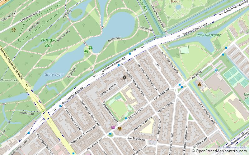
Haagse Hout is one of the eight districts of The Hague. This area was originally called Die Haghe Houte, which later became the current Haagse Hout. The district has 45,600 residents as of 2018. It is located in the north-east of the city, bordering Wassenaar to the north and Leidschendam-Voorburg to the east. Haagse Hout is divided into four neighbourhoods: ()
Address
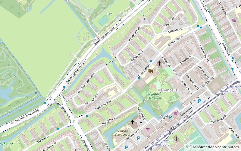
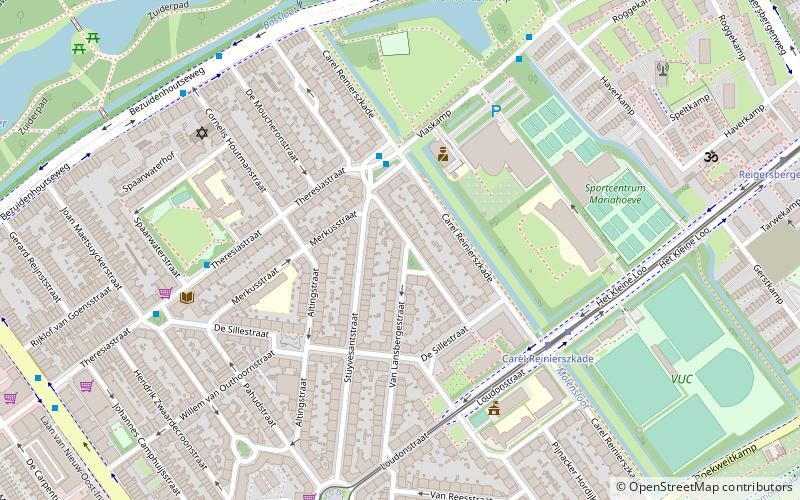
Mariahoeve en Marlot (Burgen en Horsten)The Hague
ContactAdd
Social media
Add
Getting there by public transportation
Public transportation stops near this location
- Metro
- Bus
- Tram
- Train
 Metro
Metro
- Calculate routeBarnsteenhorst 2 min walk
- Calculate routeReigersbergenweg 5 min walk
- Calculate routeSaffierhorst 8 min walk
- Calculate routeHofzichtlaan 8 min walk
- Calculate routeVlamenburg 6 min walk
- Calculate routeHofzichtlaan 9 min walk
- Calculate routeReigersbergenweg 9 min walk
- Calculate routeMargarethaland 13 min walk
- Calculate routeDen Haag Mariahoeve 18 min walk
- Calculate routeVoorburg 't Loo 25 min walk
- Calculate routeDen Haag Laan van NOI 30 min walk
- Calculate routeLeidschendam-Voorburg 42 min walk
Day trips


Frequently Asked Questions (FAQ)
Which popular attractions are close to Haagse Hout?
Nearby attractions include Louwman Museum, The Hague (11 min walk), Louwman Museum, The Hague (11 min walk), Huis ten Bosch, The Hague (13 min walk), Bezuidenhout, The Hague (16 min walk).
How to get to Haagse Hout by public transport?
The nearest stations to Haagse Hout:
Bus
Tram
Train
Metro
Bus
- Barnsteenhorst • Lines: 24 (2 min walk)
- Reigersbergenweg • Lines: 24, 43, 44 (5 min walk)
Tram
- Vlamenburg • Lines: 6 (6 min walk)
- Hofzichtlaan • Lines: 6 (9 min walk)
Train
- Den Haag Mariahoeve (18 min walk)
Metro
- Voorburg 't Loo • Lines: E (25 min walk)
- Den Haag Laan van NOI • Lines: E (30 min walk)