Oog in Al, Utrecht

Gallery (1)
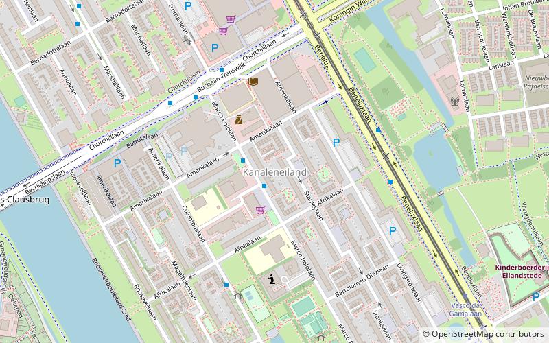
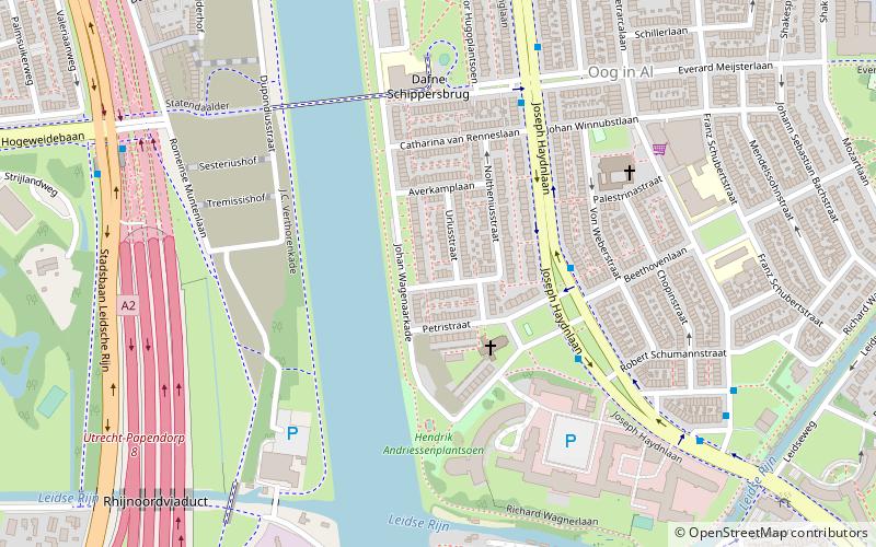
Map
Map
Facts and practical information
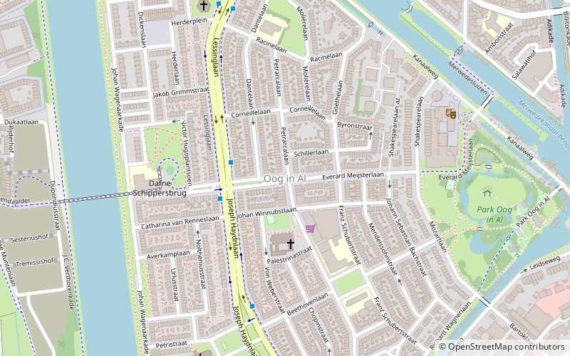
Oog in Al is a residential area in the west of the city of Utrecht in the Netherlands. The Amsterdam–Rhine Canal, the Merwede Canal and the Leidse Rijn canal form the area's limits, rendering it a man-made island in the shape of a triangle. ()
Address
West (Oog in Al)Utrecht
ContactAdd
Social media
Add
Getting there by public transportation
Public transportation stops near this location
- Bus
- Tram
- Train
 Bus
Bus
- Calculate routeEverard Meysterlaan 2 min walk
- Calculate routeBeethovenlaan 7 min walk
- Calculate routeRacinelaan 6 min walk
- Calculate route24 Oktoberplein-Zuid 19 min walk
- Calculate routeGraadt van Roggenweg 18 min walk
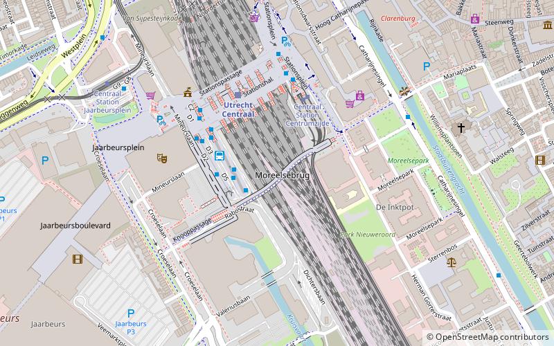
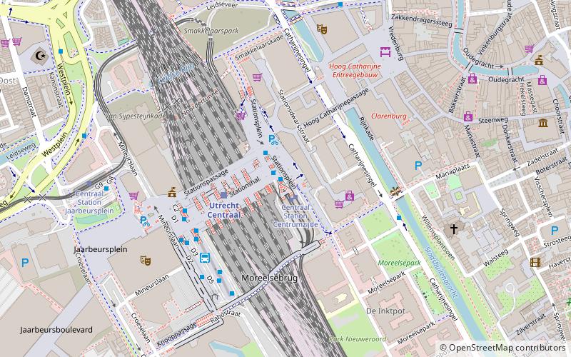
- Calculate routeCentraal Station Jaarbeursplein 23 min walk
- Calculate routeUtrecht Centraal 28 min walk
- Calculate routeUtrecht Zuilen 29 min walk
- Calculate routeUtrecht Leidsche Rijn 30 min walk
Day trips


Frequently Asked Questions (FAQ)
Which popular attractions are close to Oog in Al?
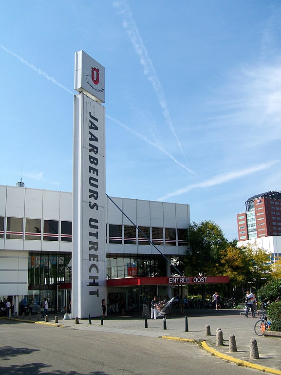
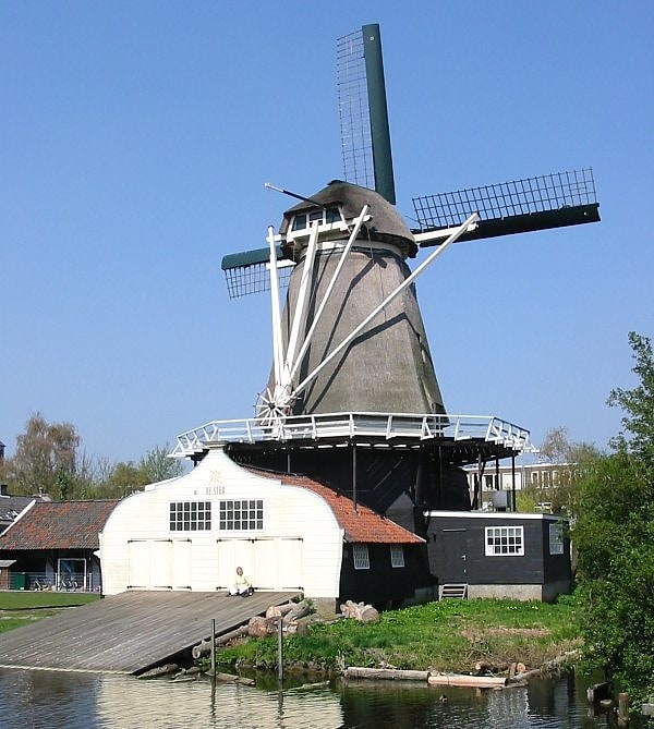
Nearby attractions include Houtzaagmolen De Ster, Utrecht (18 min walk), Jaarbeurs, Utrecht (22 min walk).
How to get to Oog in Al by public transport?
The nearest stations to Oog in Al:
Bus
Tram
Train
Bus
- Everard Meysterlaan • Lines: 5 (2 min walk)
- Beethovenlaan • Lines: 5 (7 min walk)
Tram
- 24 Oktoberplein-Zuid • Lines: 60, 61 (19 min walk)
- Graadt van Roggenweg • Lines: 60, 61 (18 min walk)
Train
- Utrecht Centraal (28 min walk)
- Utrecht Zuilen (29 min walk)