Victory Beach
Map
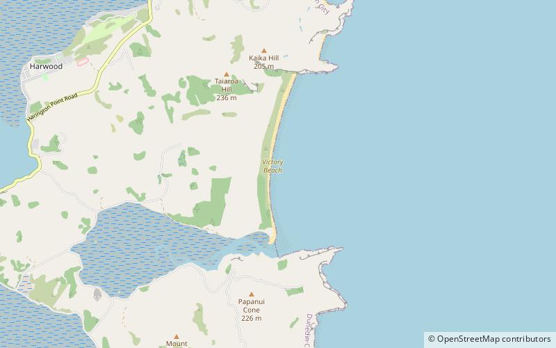
Map

Facts and practical information
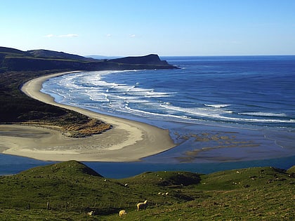
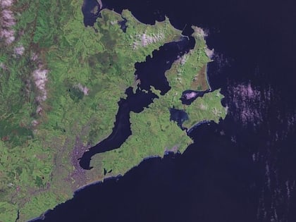
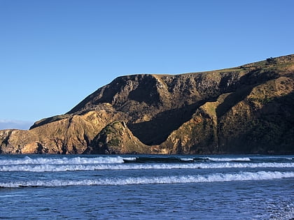
Victory Beach is located on the Pacific Ocean coast of the Otago Peninsula, in the South Island of New Zealand, 24 kilometres by road from Dunedin city centre and 7 kilometres from the nearby town of Portobello. The longest beach on the peninsula, Victory Beach is located northeast of the entrance to Papanui Inlet and stretches for 3.2 kilometres. The beach's name derives from the wreck of the SS Victory on the beach in 1861. ()
Coordinates: 45°49'60"S, 170°43'55"E
Location
Otago
ContactAdd
Social media
Add
Day trips
Victory Beach – popular in the area (distance from the attraction)
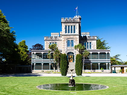
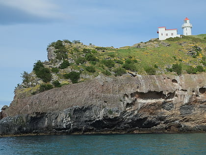
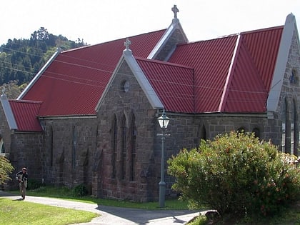
Nearby attractions include: Larnach Castle, Taiaroa Head, Holy Trinity Church, Otago Peninsula.
