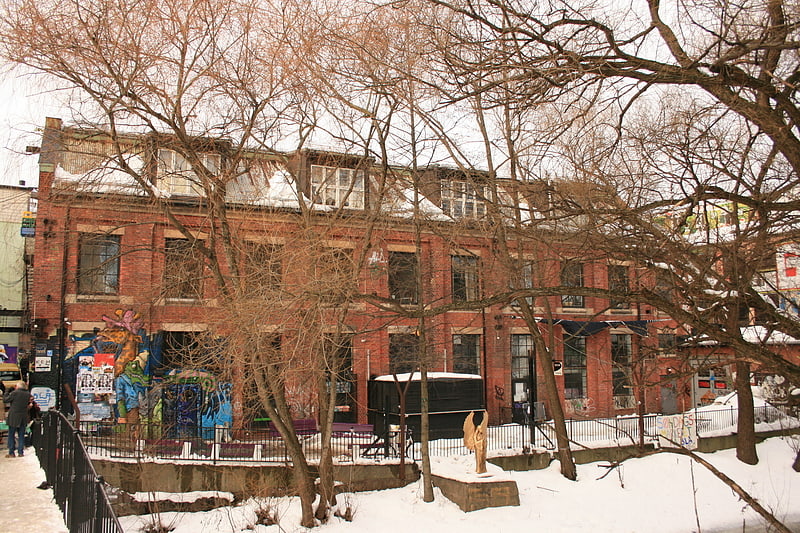
Ankertorget, Oslo
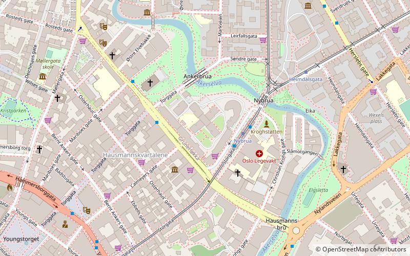
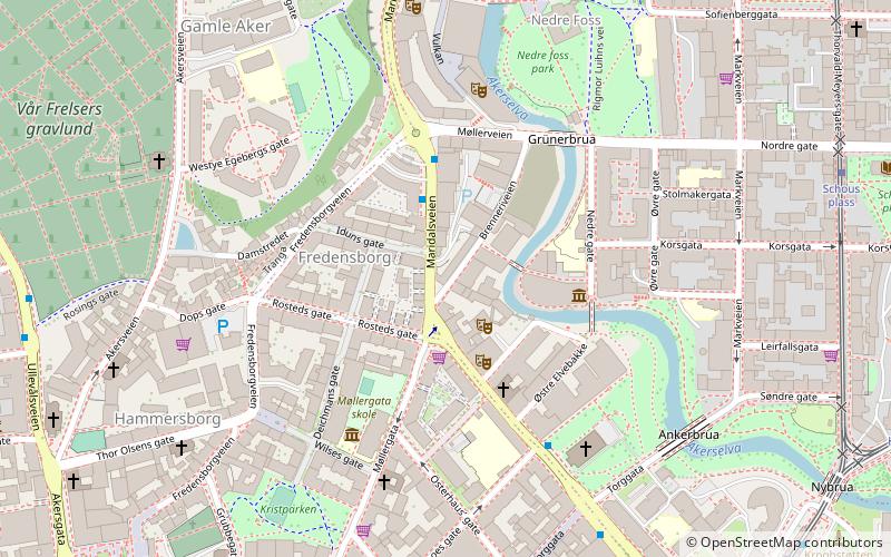
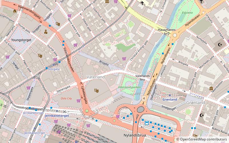
Map
Facts and practical information
Address
Grünerløkka (Grünerløkka vest)Oslo
ContactAdd
Social media
Add
Getting there by public transportation
Public transportation stops near this location
- Metro
- Bus
- Tram
- Train
- Ferry
 Metro
Metro
- Calculate routeNybrua 2 min walk
- Calculate routeHeimdalsgata 5 min walk
- Calculate routeSchous plass 7 min walk
- Calculate routeStorgata 8 min walk
- Calculate routeGrønland 9 min walk
- Calculate routeJernbanetorget 10 min walk
- Calculate routeStortinget 14 min walk
- Calculate routeTøyen 18 min walk
- Calculate routeOslo Bus Terminal 12 min walk
- Calculate routeOslo Central Station 12 min walk
- Calculate routeTøyen 23 min walk
- Calculate routeCarl Berners plass 26 min walk
- Calculate routeNational Theatre 26 min walk
- Calculate routeSalt brygge 21 min walk
- Calculate routeMunch Bjørvika 21 min walk
- Calculate routeRådhusbryggen 25 min walk
- Calculate routeRådhuset 27 min walk
Day trips
Ankertorget – popular in the area (distance from the attraction)
Nearby attractions include: Oslo Spektrum, Oslo City, Marka, Central Jamaat-e Ahl-e Sunnat.


Frequently Asked Questions (FAQ)
Which popular attractions are close to Ankertorget?
Nearby attractions include Jewish Museum in Oslo, Oslo (2 min walk), Ankerbrua, Oslo (2 min walk), Nybrua, Oslo (3 min walk), Kulturkirken Jakob, Oslo (3 min walk).
How to get to Ankertorget by public transport?
The nearest stations to Ankertorget:
Tram
Metro
Bus
Train
Ferry
Tram
- Nybrua (2 min walk)
- Heimdalsgata (5 min walk)
Metro
- Grønland (9 min walk)
- Jernbanetorget (10 min walk)
Bus
- Oslo Bus Terminal (12 min walk)
Train
- Oslo Central Station (12 min walk)
- Tøyen (23 min walk)
Ferry
- Salt brygge • Lines: B9 (21 min walk)
- Munch Bjørvika • Lines: B9 (21 min walk)