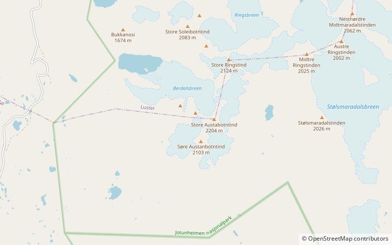
Store Austanbotntind, Jotunheimen
Map

Map

Facts and practical information
Store Austanbotntind is a mountain on the border of the municipalities of Luster and Årdal in Vestland county, Norway. It is the highest peak in the western part of the Hurrungane mountain range. The mountain is located in Jotunheimen National Park, about 12.5 kilometres southeast of the village of Skjolden. The easiest route to the summit involves climbing, though relatively easy, and crossing of an exposed snow flank. ()
Local name: Store Austanbottstind First ascent: 1883Elevation: 7228 ftProminence: 1476 ftCoordinates: 61°25'52"N, 7°47'20"E
Address
Jotunheimen
ContactAdd
Social media
Add
Day trips
Store Austanbotntind – popular in the area (distance from the attraction)
Nearby attractions include: Vettisfossen, Fortun Church, Vetle Skagastølstind, Midtre Skagastølstind.


