Ringstindane, Jotunheimen
#65 among attractions in Jotunheimen
Facts and practical information
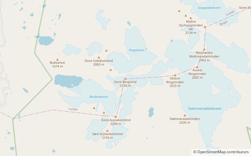
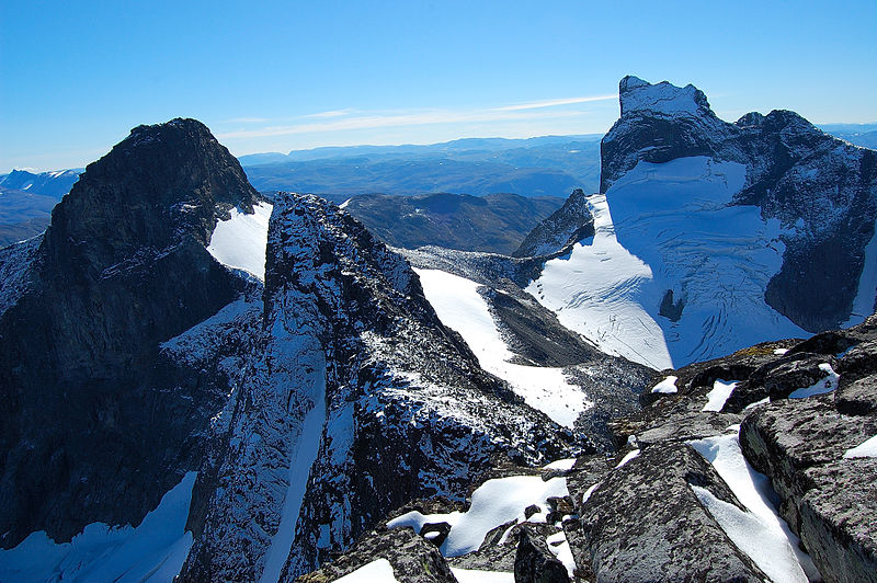
Ringstindane is a mountain ridge consisting of three peaks south-west in Jotunheimen National Park in Vestland, Norway. The highest peak reaches 2,124 m above sea level. ()
Ringstindane – popular in the area (distance from the attraction)
Nearby attractions include: Vettisfossen, Fannaråki, Fortun Church, Vetle Skagastølstind.
 Nature, Natural attraction, Waterfall
Vettisfossen
164 min walk • Vettisfossen stands as one of Norway's most magnificent natural attractions, a testament to the raw power and beauty of untamed water. As one of the tallest waterfalls in Norway, it boasts an impressive free-falling drop of 275 meters.
 Nature, Natural attraction, Mountain
Fannaråki, Jotunheimen
161 min walk • Fannaråki is a mountain in the municipality of Luster in Vestland county, Norway. The 2,068-metre tall mountain is located in the Jotunheimen National Park, just south of the lake Prestesteinsvatnet and the Sognefjellsvegen road.
 Church
Fortun Church
132 min walk • Fortun Church is a parish church of the Church of Norway in Luster Municipality in Vestland county, Norway. It is located in the village of Fortun. It is the church for the Fortun parish which is part of the Sogn prosti in the Diocese of Bjørgvin.
 Nature, Natural attraction, Mountain
Vetle Skagastølstind, Jotunheimen
74 min walk • Vetle Skagastølstinden is one of the peaks constituting Skagastølstindane in the Hurrungane mountain range and is among Norway's highest. The 2,340-metre tall mountain is located in the eastern part of the municipality of Luster in Vestland county, Norway.
 Nature, Natural attraction, Mountain
Midtre Skagastølstind, Jotunheimen
74 min walk • Midtre Skagastølstind is one of the peaks constituting Skagastølstindane in the Hurrungane mountain range. The 2,284-metre tall mountain lies in the eastern part of the municipality of Luster in Vestland county, Norway. The mountain lies in between Nordre Skagastølstind, Vetle Skagastølstind, and Store Skagastølstind.
 Nature, Natural attraction, Mountain
Store Austanbotntind, Jotunheimen
22 min walk • Store Austanbotntind is a mountain on the border of the municipalities of Luster and Årdal in Vestland county, Norway. It is the highest peak in the western part of the Hurrungane mountain range.
 Nature, Natural attraction, Mountain
Sentraltind, Jotunheimen
79 min walk • Sentraltind is a mountain in the Hurrungane mountains in the Jotunheimen mountain range. The 2,348-metre tall mountain is located in the eastern part of the municipality of Luster in Vestland county, Norway. It is the 10th highest summit in Norway.
 Nature, Natural attraction, Mountain
Store Skagastølstind, Jotunheimen
70 min walk • Store Skagastølstind is the third highest peak in Norway. It is situated on the border between the municipality of Luster and Årdal in Vestland county, Norway. The 2,405-metre mountain is part of the Hurrungane range.
 Nature, Natural attraction, Mountain
Store Styggedalstinden, Jotunheimen
94 min walk • Store Styggedalstind, is the fourth-highest summit in Norway, located within the Hurrungane mountains, which are part of the Jotunheimen mountain range. The mountain is located in the eastern part of the municipality of Luster in Vestland county, Norway. This mountain is directly between the mountains Sentraltind and Jervvasstind.
 Nature, Natural attraction, Mountain
Jervvasstind, Jotunheimen
102 min walk • Jervvasstind is Norway's ninth-highest mountain. The 2,351-metre-tall mountain lies in the Hurrungane mountains in the eastern part of the municipality of Luster in Vestland county, Norway.
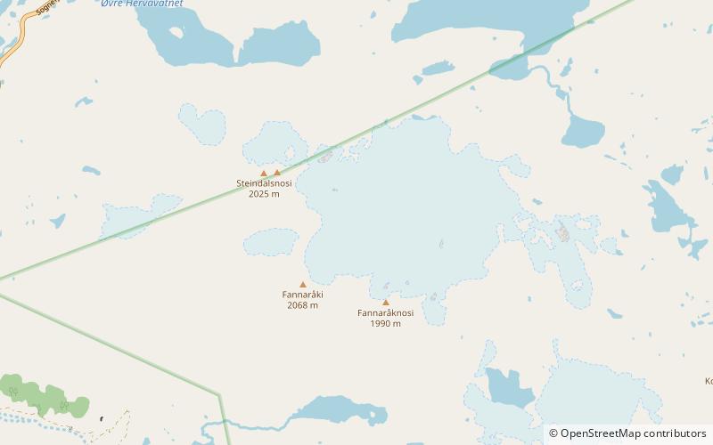 Nature, Natural attraction, Natural feature
Fannaråkbreen, Jotunheimen
174 min walk • Fannaråkbreen is a glacier in the municipality of Luster in Vestland county, Norway. It covers an area of about 6.2-square-kilometre, and consists of three parts.
