Zobel Roxas Street, Manila
Map

Gallery

Facts and practical information
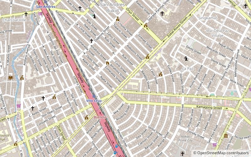
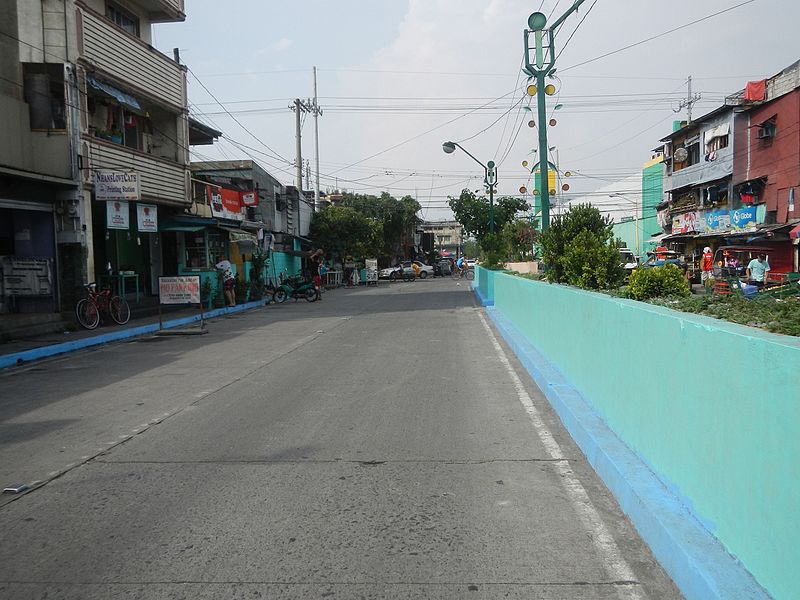
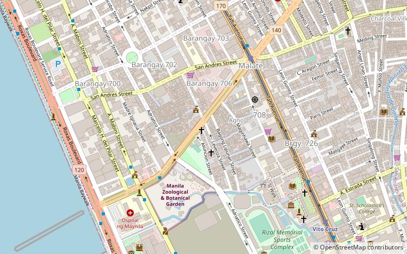
Zobel Roxas Street is an east-west street that forms the southeastern limit of the City of Manila, the northwestern city limit of Makati, and the northern city limit of Pasay, all in Metro Manila, Philippines. It stretches across western Metro Manila from Tramo Street in the Singalong area of Malate to Tejeron Street at the district boundary of San Andres Bukid and Santa Ana. It has a short extension northeast of the Tejeron Street–J.P. Rizal Avenue junction as Del Pan Street. ()
Length: 7218 ftCoordinates: 14°34'5"N, 121°0'18"E
Address
San AndrésManila
ContactAdd
Social media
Add
Day trips
Zobel Roxas Street – popular in the area (distance from the attraction)
Nearby attractions include: Jesus Is Lord Church Worldwide, Saint Cecilia's Hall, Quirino Avenue, Pedro Gil Street.
Frequently Asked Questions (FAQ)
Which popular attractions are close to Zobel Roxas Street?
Nearby attractions include San Andres, Manila (9 min walk), J. P. Rizal Avenue, Makati (16 min walk), Saint Cecilia's Hall, Manila (18 min walk), Pablo Ocampo Street, Manila (18 min walk).
How to get to Zobel Roxas Street by public transport?
The nearest stations to Zobel Roxas Street:
Train
Bus
Light rail
Ferry
Train
- Vito Cruz (5 min walk)
- San Andres (13 min walk)
Bus
- Malugay • Lines: T331, T369 (17 min walk)
- PRC-Libertad Jeepney Terminal • Lines: T369 (19 min walk)
Light rail
- Vito Cruz • Lines: 1 (20 min walk)
- Quirino • Lines: 1 (24 min walk)
Ferry
- Santa Ana • Lines: Pasig River Ferry (29 min walk)


