San Andres, Manila

Gallery (1)
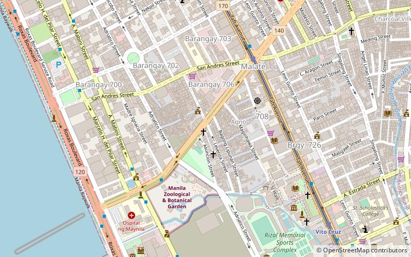
Map
Map
Facts and practical information
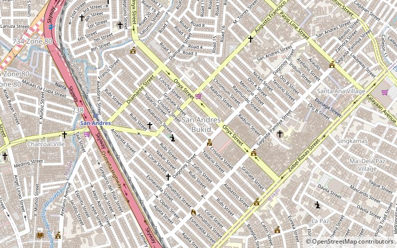
San Andres is a district of Manila, Philippines. San Andres shares the Estero Tripa de Gallina as its western and northern border with the districts of Malate and Paco, respectively and Pedro Gil and Tejeron streets to the east with the district of Santa Ana. It borders the cities of Pasay and Makati in the south. The area is under the jurisdiction of the Fifth Congressional District of Manila, and includes the Manila South Cemetery, an exclave of the city surrounded by land administered by Makati. ()
Address
San AndrésManila
ContactAdd
Social media
Add
Getting there by public transportation
Public transportation stops near this location
- Bus
- Light rail
- Train
- Ferry
 Bus
Bus
- Calculate routeSan Andres 8 min walk
- Calculate routeVito Cruz 11 min walk
- Calculate routePaco 14 min walk
- Calculate routeDela Rosa 31 min walk
- Calculate routePRC-Libertad Jeepney Terminal 20 min walk
- Calculate routeQuirino Extension 21 min walk
- Calculate routePRC-Mantrade/Kayamanan C Jeepney Terminal 21 min walk
- Calculate routeDe La Salle University - Manila 22 min walk
- Calculate routeSanta Ana 23 min walk
- Calculate routeLambingan 36 min walk
- Calculate routeQuirino 22 min walk
- Calculate routeVito Cruz 23 min walk
- Calculate routePedro Gil 29 min walk
Day trips


Frequently Asked Questions (FAQ)
Which popular attractions are close to San Andres?
Nearby attractions include Zobel Roxas Street, Manila (9 min walk), J. P. Rizal Avenue, Makati (14 min walk), Quirino Avenue, Manila (15 min walk), Plaza Dilao, Manila (16 min walk).
How to get to San Andres by public transport?
The nearest stations to San Andres:
Train
Bus
Ferry
Light rail
Train
- San Andres (8 min walk)
- Vito Cruz (11 min walk)
Bus
- PRC-Libertad Jeepney Terminal • Lines: T369 (20 min walk)
- Quirino Extension • Lines: 301 (21 min walk)
Ferry
- Santa Ana • Lines: Pasig River Ferry (23 min walk)
- Lambingan • Lines: Pasig River Ferry (36 min walk)
Light rail
- Quirino • Lines: 1 (22 min walk)
- Vito Cruz • Lines: 1 (23 min walk)