Benguet, Baguio

Gallery (1)
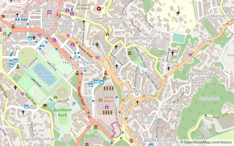
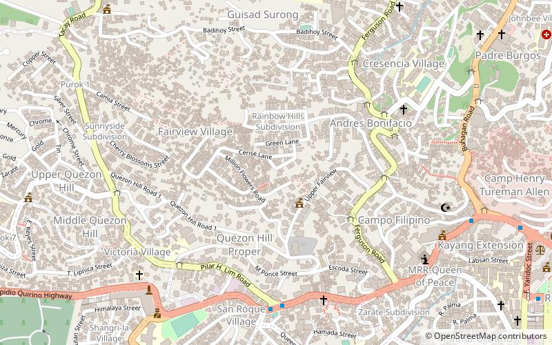
Map
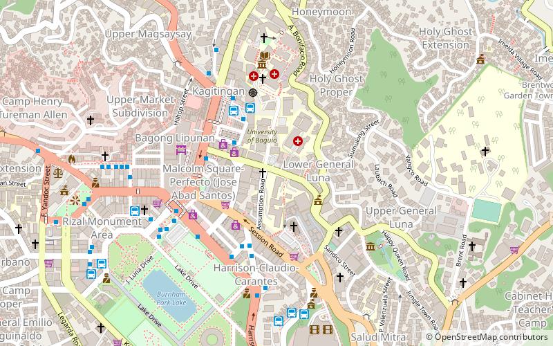
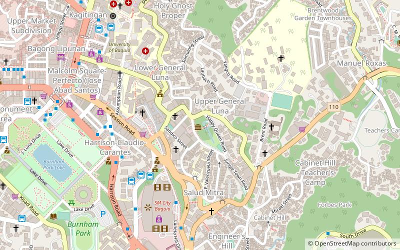
Map
Facts and practical information
Benguet, officially the Province of Benguet, is a landlocked province of the Philippines located in the southern tip of the Cordillera Administrative Region in the island of Luzon. Its capital is La Trinidad. ()
Address
Baguio
ContactAdd
Social media
Add
Getting there by public transportation
Public transportation stops near this location
- Bus
 Bus
Bus
- Calculate routeVicrory Liner - Baguio Terminal 2 min walk
- Calculate routeDALIN Bus Line - Baguio Terminal 3 min walk
- Calculate routeGenesis Bus Terminal 3 min walk
- Calculate routeJoybus 3 min walk
Day trips


Frequently Asked Questions (FAQ)
Which popular attractions are close to Benguet?
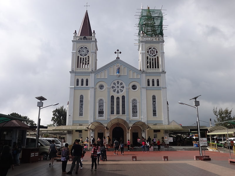
Nearby attractions include Session Road, Baguio (1 min walk), General Emilio Aguinaldo Museum, Baguio (4 min walk), Baguio Cathedral, Baguio (4 min walk), University of the Cordilleras, Baguio (6 min walk).
How to get to Benguet by public transport?
The nearest stations to Benguet:
Bus
Bus
- Vicrory Liner - Baguio Terminal (2 min walk)
- DALIN Bus Line - Baguio Terminal (3 min walk)